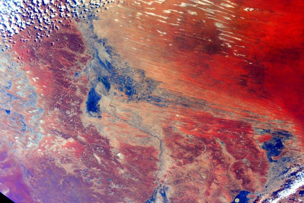
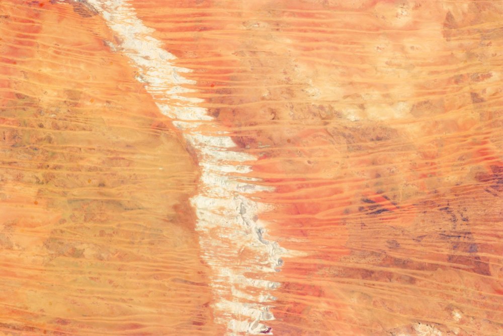
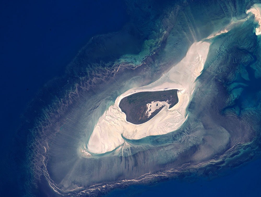
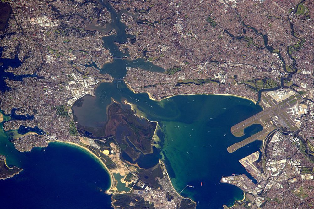
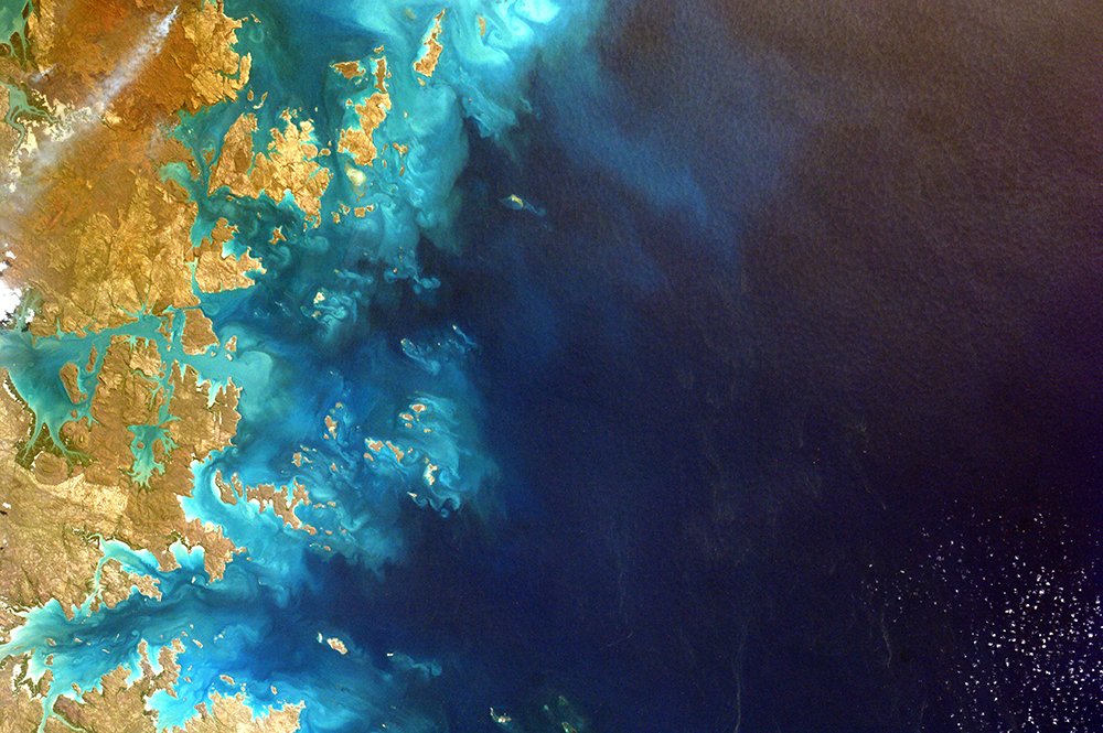
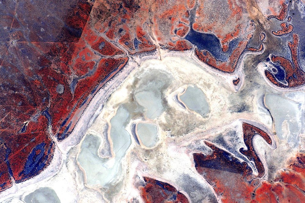
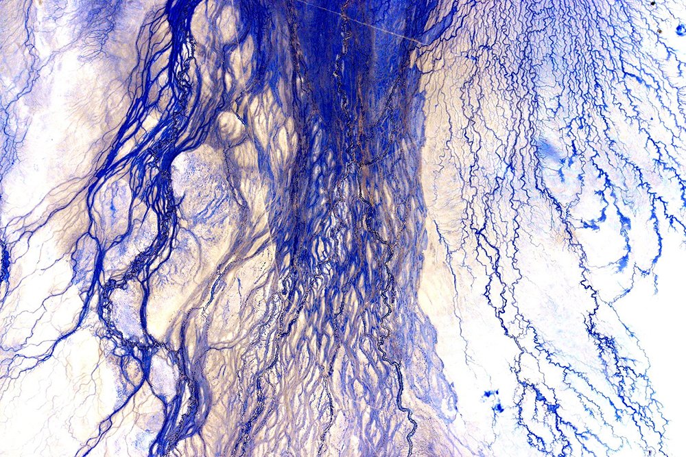
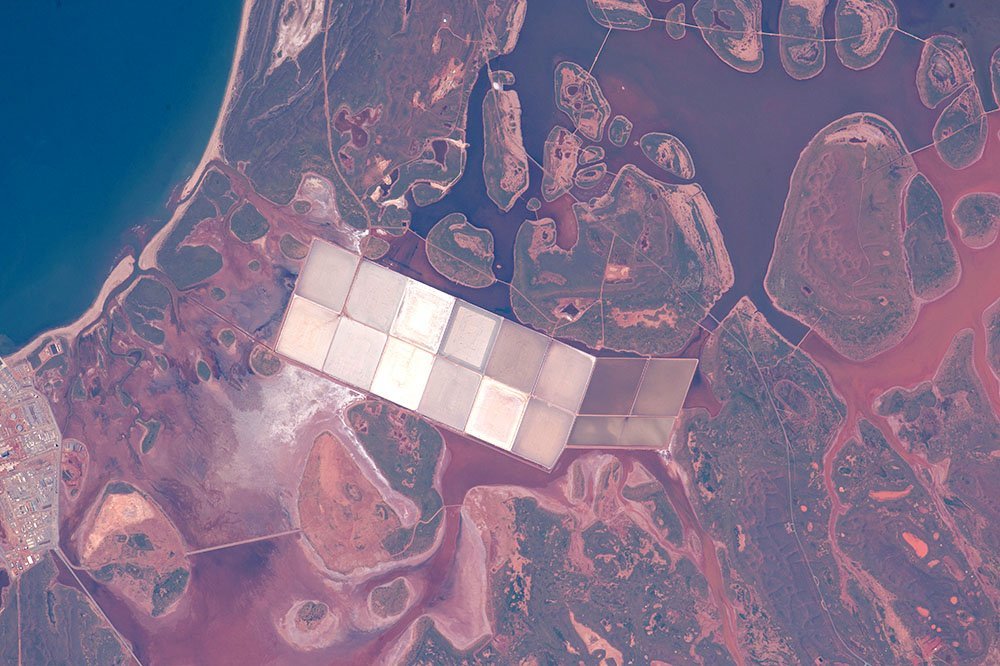
NASA astronaut Scott Kelly recently returned to Earth after a record-breaking 340 consecutive days in space, aboard the International Space Station. Scott shared this image on his Instagram account on 6 April 2015, with the caption: “Australia you are very beautiful. Thanks for being there to brighten our day.”
Photo Credit: Scott Kelly / NASA
Great Sandy Desert, Western Australia
This photograph of the Great Sandy Desert in the country’s northwest was taken by the Expedition 35 crew aboard the ISS on 25 March 2013 using a Nikon D3S digital camera with a 400mm lens. The linear dunes in the image are about 25m high, and about 0.5km to 1.5km apart, and aligned to the prevailing easterly winds that generated them.
According to NASA’s original caption: “When you fly over such dune fields – either in an airplane or the International Space Station – the fire scars stand out. Where thin vegetation has been burned, the dunes appear red from the underlying sand; dunes appear darker where the vegetation remains.”
Photo Credit: NASA
Jack Hills, Western Australia
This image of Western Australia’s Jack Hills was captured by the Landsat satellite on 27 July 1999. Roughly 80km long, the Jack Hills range in mid-west WA is known as the site where, in 2014, the world’s oldest mineral was discovered – a piece of zircon crystal dated at more than 4.4 billion years old; older than the rocks of Jack Hills themselves.
NASA’s Landsat program is the longest-running enterprise for collecting satellite images of Earth.
Photo Credit: Robert Simmon / University of Maryland / NASA
Adele Island, Western Australia
Pictured is Adele Island off the Kimberley coast of north-west Australia, photographed by astronauts aboard the ISS on 11 June 2015.
Adele Island is only 2.9km long, but – as shown in the image – it has large tidal zones with extensive sandbanks. The highest point of the island is less than 4m above sea level.
Photo Credit: NASA
Sydney, New South Wales
NASA astronaut and current ISS Commander Tim Kopra shared this photo of Sydney, NSW, on his Twitter account on 3 April 2016. The image was taken from aboard the ISS, on which Tim arrived on 15 December 2015.
Photo Credit: Tim Kopra / NASA
Australia’s north-west corner
This stunning image of the north-west corner of Australia was actually taken by a student on Earth, after remotely controlling the ‘Sally Ride EarthKAM’ aboard the International Space Station.
The EarthKAM program allows students to request photographs of specific Earth features, which are taken by a camera mounted on the ISS when it passes over those features. The project was initiated by Dr Sally Ride, America’s first woman in space, in 1995 and called KidSat; the camera flew on five space shuttle flights before moving to the ISS on Expedition 1 in 2001.
Photo Credit: NASA/EarthKAM.org
Lake Galilee, Queensland
Later identified by astute Earthlings as Lake Galilee in central west Queensland, NASA astronaut Scott Kelly originally posted this photo taken from the ISS on his Twitter account on 14 October 2015, tagging it #EarthArt. It was one of a series of 17 images he captured during a single pass over the Australian continent.
Photo Credit: NASA
The Diamantina River, South Australia
This incredible aerial perspective of the Diamantina River in the far north of South Australia was picture 11 of 17 taken by NASA astronaut Scott Kelly during his pass over the Australian continent in the ISS in October 2015.
Photo Credit: Scott Kelly / NASA
Salt ponds and coastal flats, Western Australia
This image taken from the ISS on 11 June 2015 shows salt ponds and coastal flats on the Western Australian coast. According to NASA’s original caption: “coastlines are usually the best indicators for astronauts in telling them quickly which part of the world they are looking at from the windows of the International Space Station.”
In this photo, coastal lagoons and rounded islands contrast with the angular white ponds of the salt extraction industry.
Photo Credit: NASA
Lake Eyre, South Australia
Can you see the ‘scary face’ in this image? It’s actually inundated patches of Lake Eyre in northern South Australia. This image was captured on 5 August 2006 by NASA’s Landsat satellite and was voted 5th place in a 2012 ‘Earth as Art’ competition.
Photo Credit: NASA's Goddard Space Flight Center/USGS
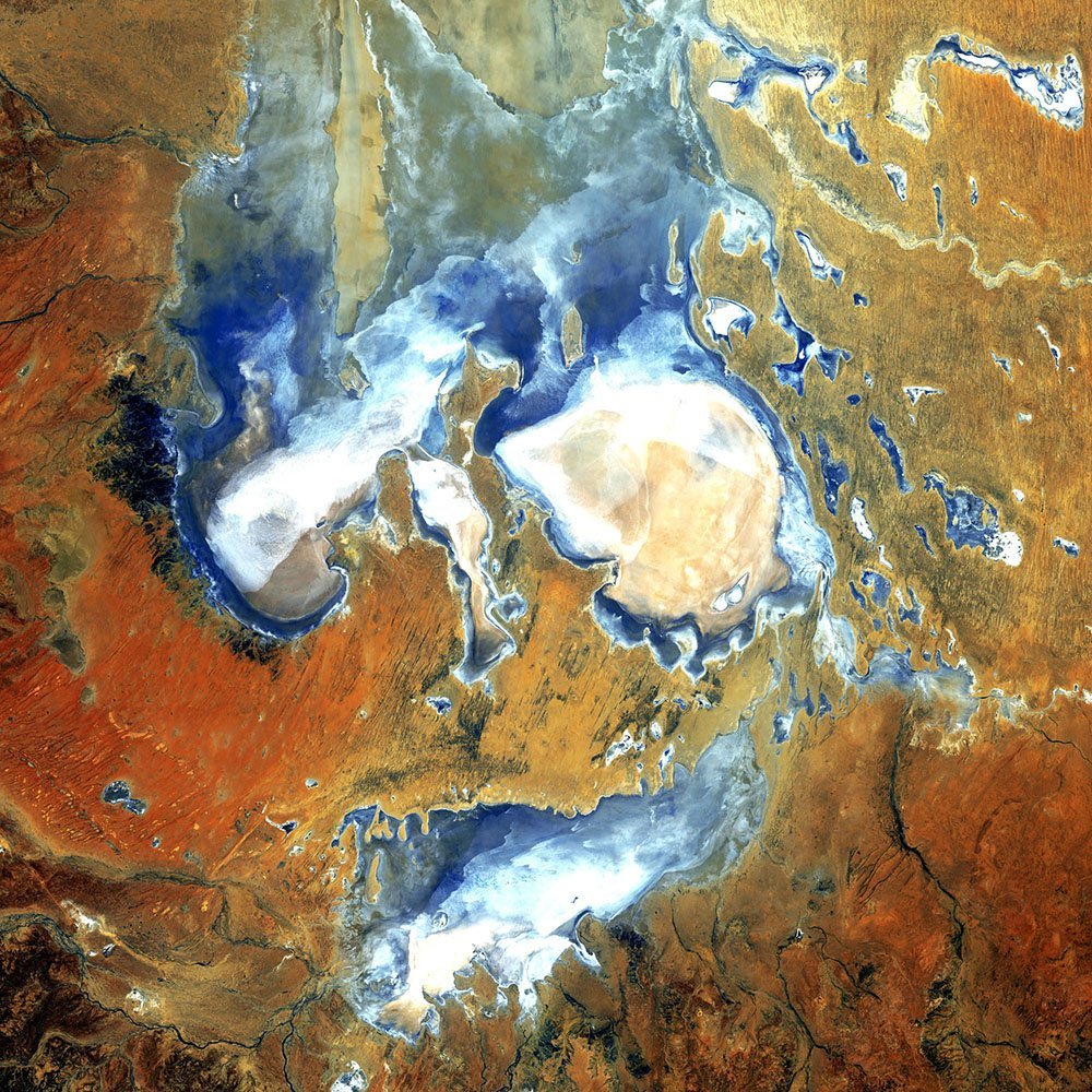
It can be easy to feel forgotten in Australia, residing as we do in the planet’s more sparsely populated southern hemisphere – but one place where Earthling hemisphere bias loses significance is when looking down on the globe from space. Enjoy these 10 stunning NASA images of different parts of Australia, many taken by astronauts aboard the International Space Station.