Catlin Seaview Survey team at work in the waters off Ben Buckler, North Bondi. The survey’s SVII camera has a camera orb and underwater tablet mounted on to an underwater scooter. Rapid-fire 360-degree images are taken every 3 seconds whilst traveling at a speed of about 4km/h.
Photo Credit: Catlin Seaview Survey
Panorama at Chowder Bay on the north side of Sydney Harbour. To mark the publication of the Catlin Seaview Survey’s full database, images have been made available through Street View in Google Maps, including 20 sites on the Great Barrier Reef, and a series of locations around Sydney.
Photo Credit: Catlin Seaview Survey
A friendly grouper at Shelly Beach, found in the Sydney suburb of Manly.
Photo Credit: Catlin Seaview Survey
The name of the mourning cuttlefish (Sepia plangon) comes from the bluish tinge which surrounds the eyes.
Photo Credit: Catlin Seaview Survey
A surfer at Bondi Beach comes into the sights of the SVII camera.
Photo Credit: Catlin Seaview Survey
A seahorse hanging out in nets at Chowder Bay, Sydney Harbour.
Photo Credit: Catlin Seaview Survey
A panorma with sharks at Magic Point on the tip of Sydney’s South Maroubra headland.
Photo Credit: Catlin Seaview Survey
Carl Gustaf Lundin, the Head of the IUCN Global Marine and Polar Programme with a weedy seadragon (Phyllopteryx taeniolatus).
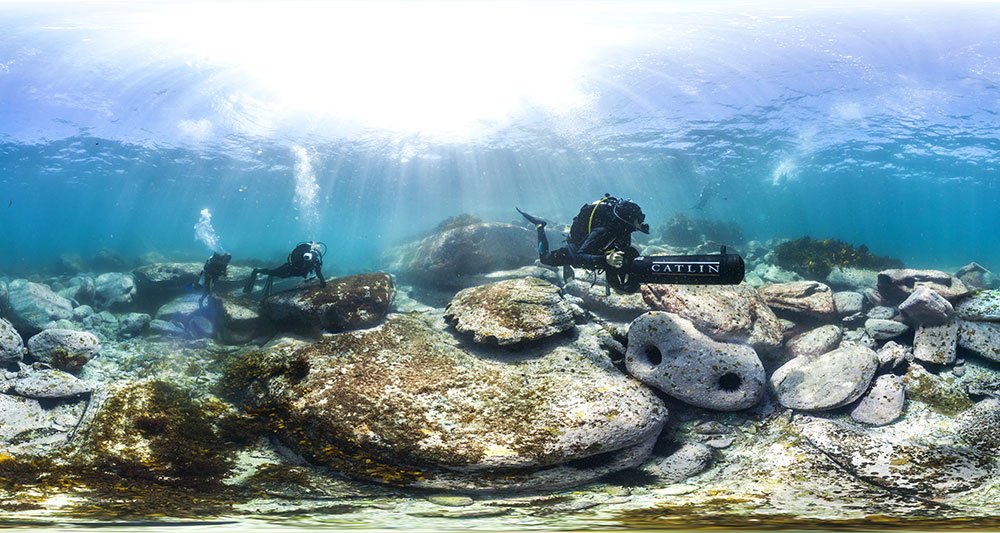
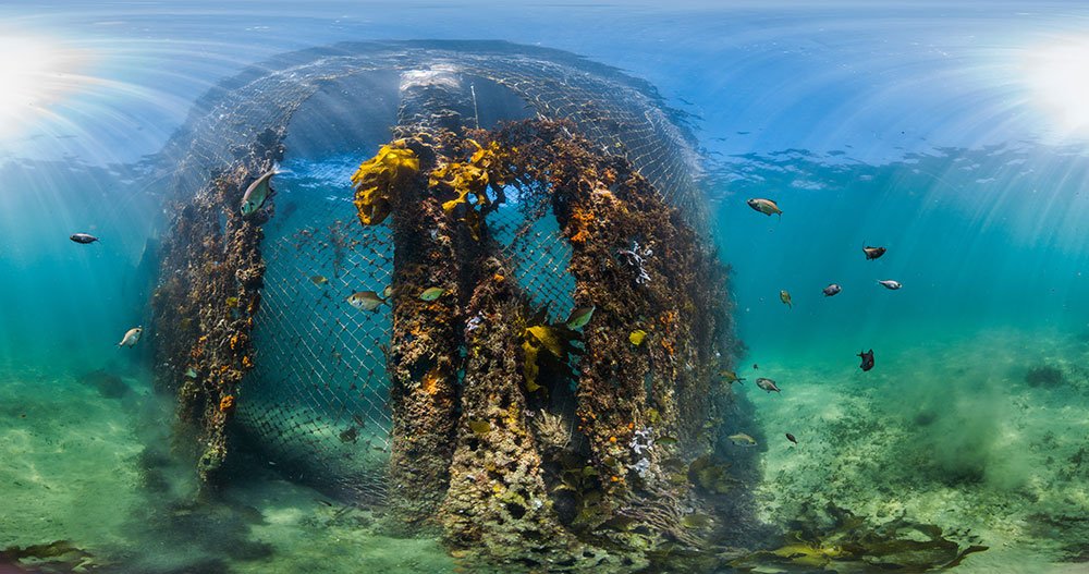
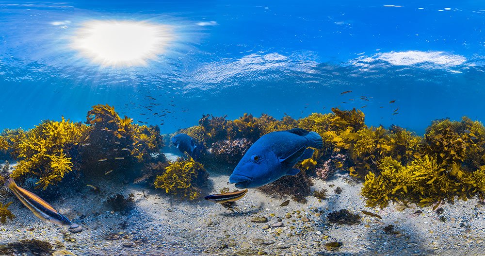
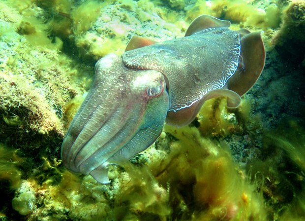
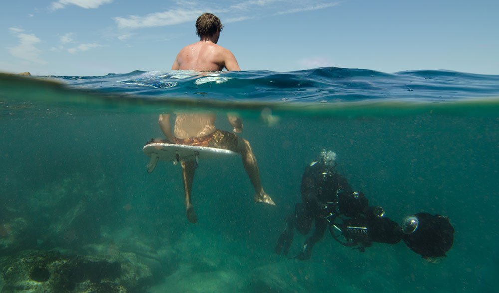
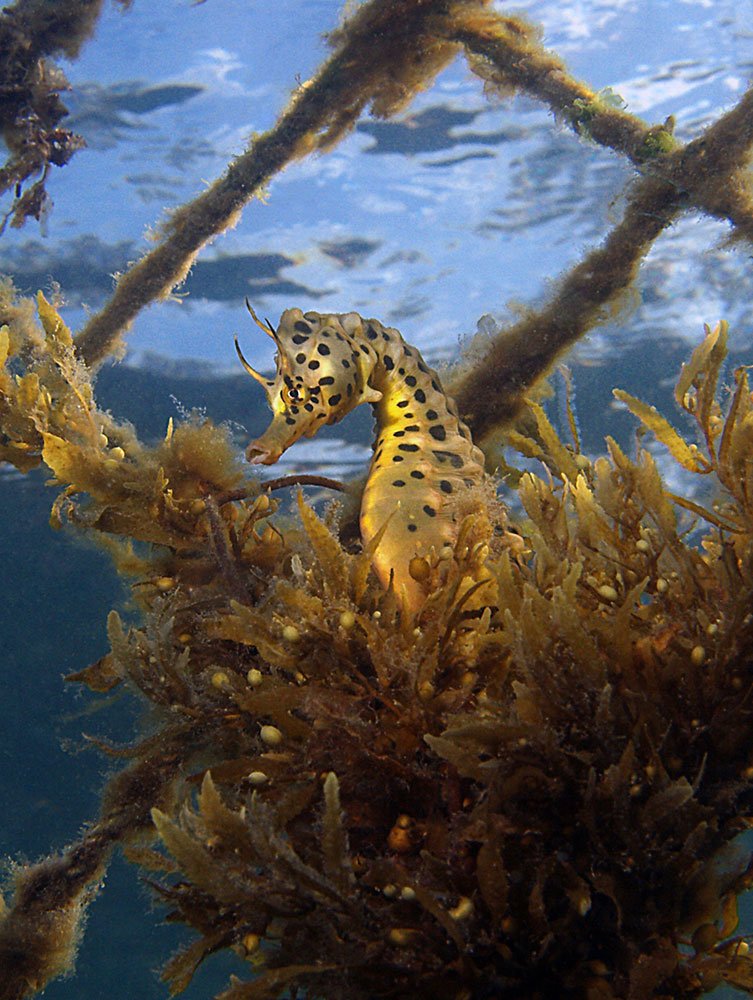
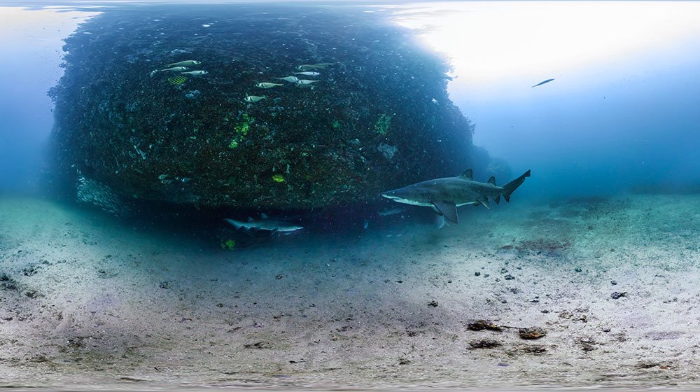
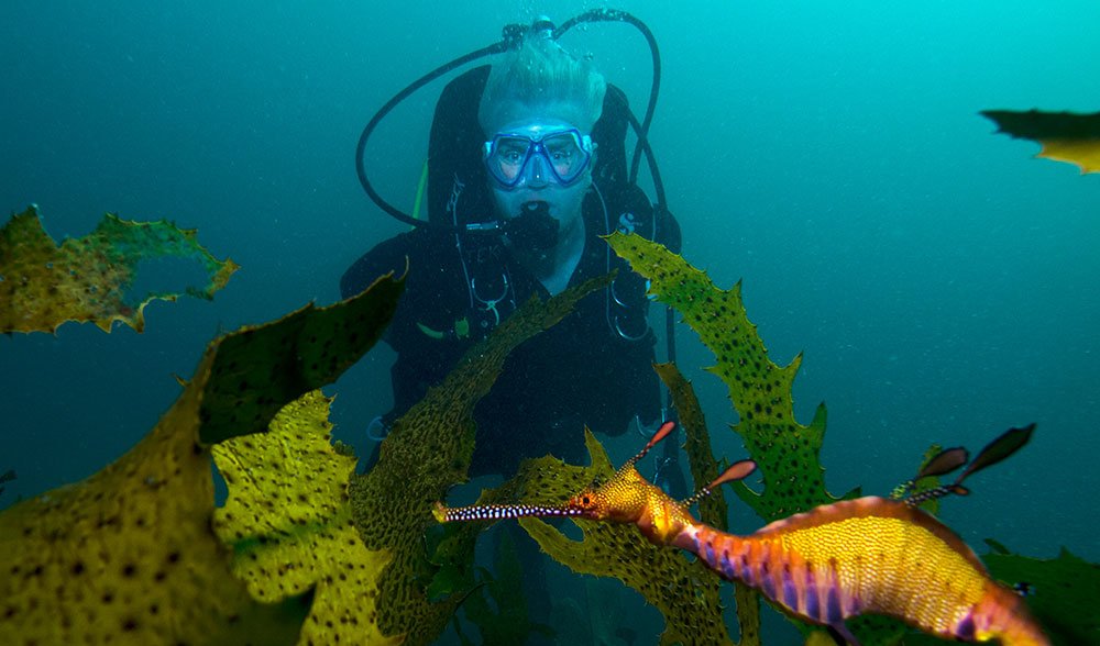
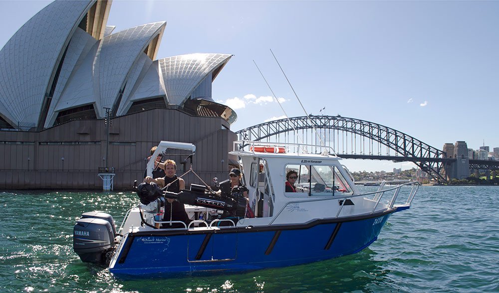
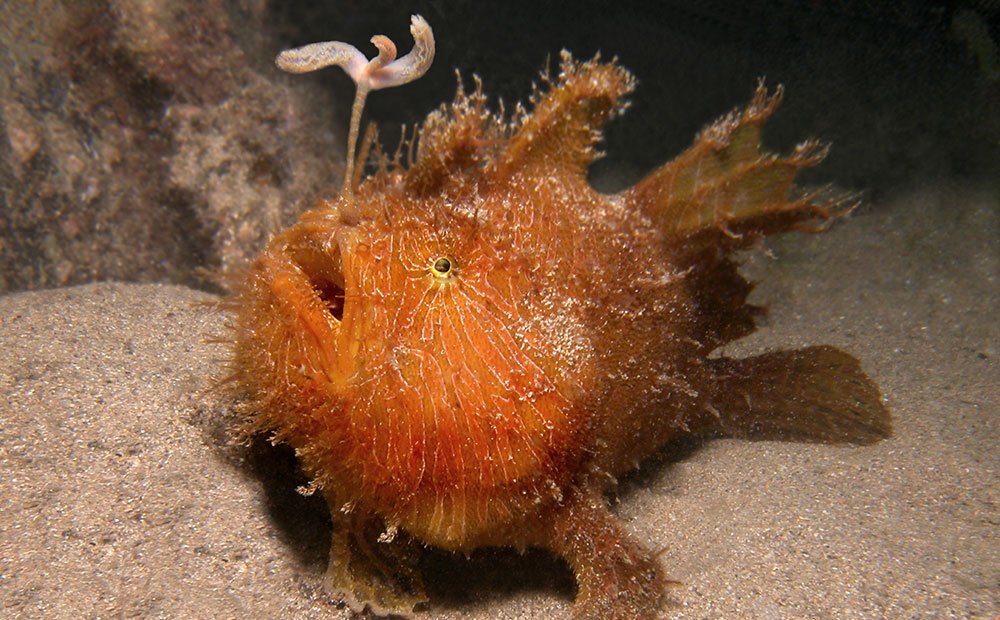
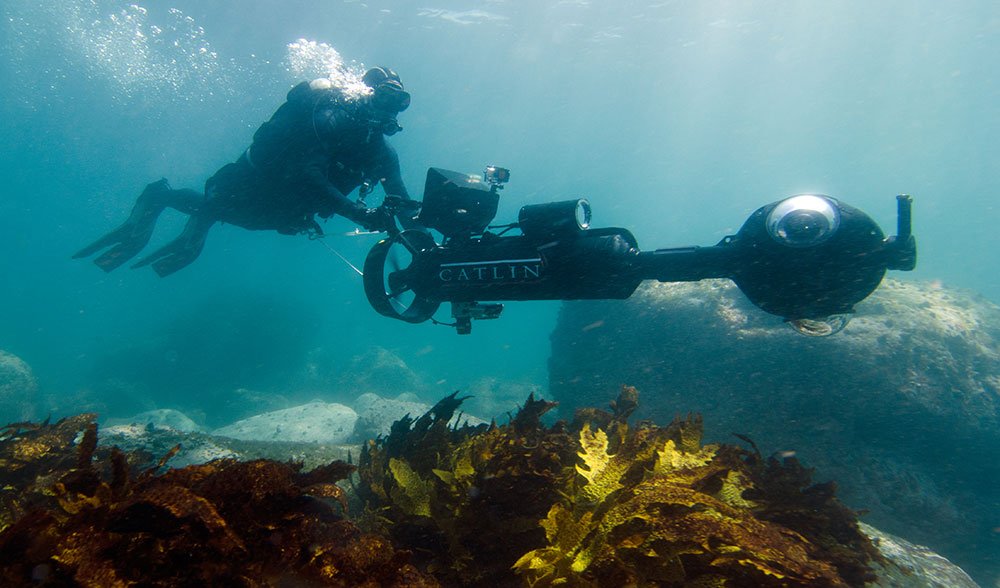
Seascapes in 27 new locations around Australia have been made available to virtually dive through on Google Maps street view as part of the IUCN World Parks Congress (maps.google.com/ocean). The virtual panoramas were collected by the Catlin Seaview Survey, which is documenting reefs around the world to monitor their health over time. These images are from a series of dives in Sydney Harbour and surrounding beaches – 100,000 images from 32 locations along the Great Barrier Reef have also been released.