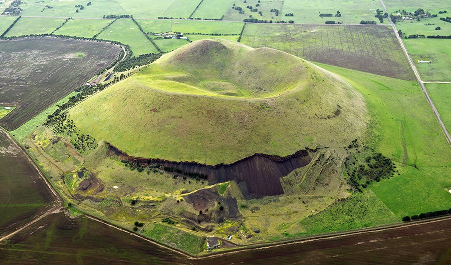
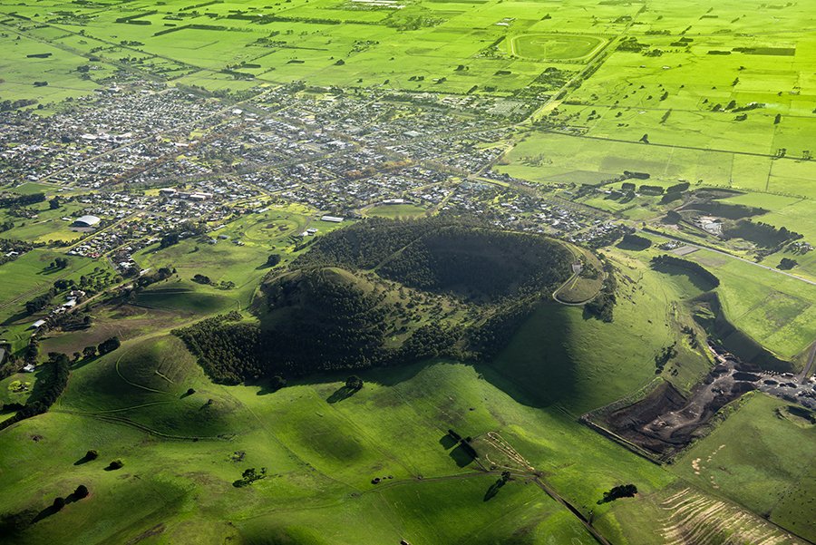
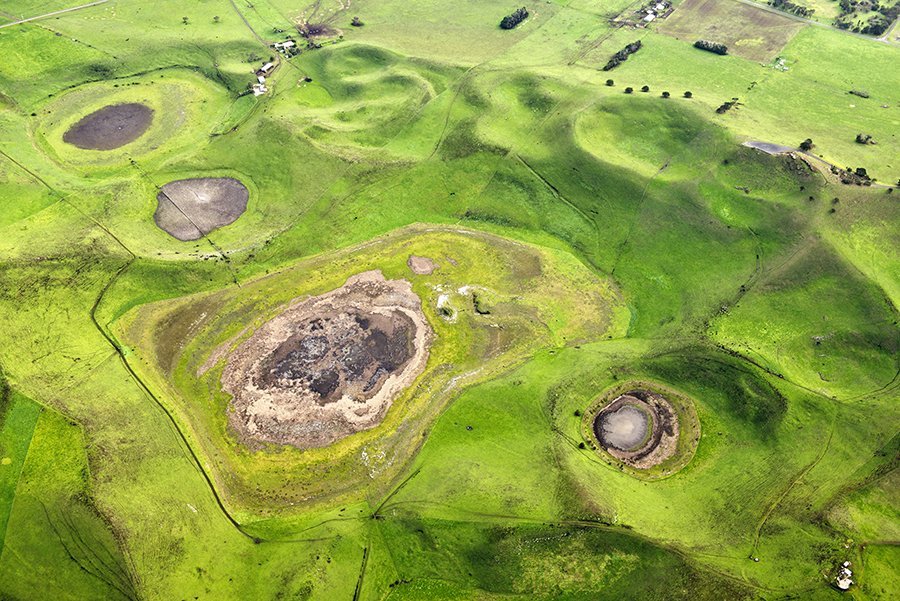
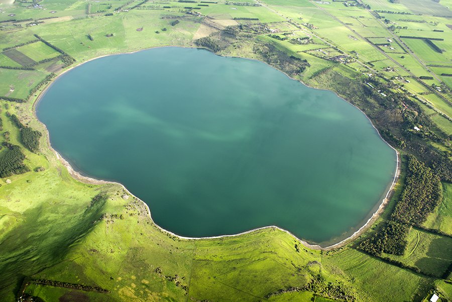
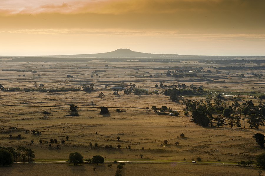
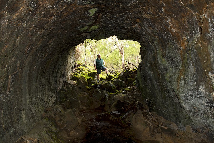
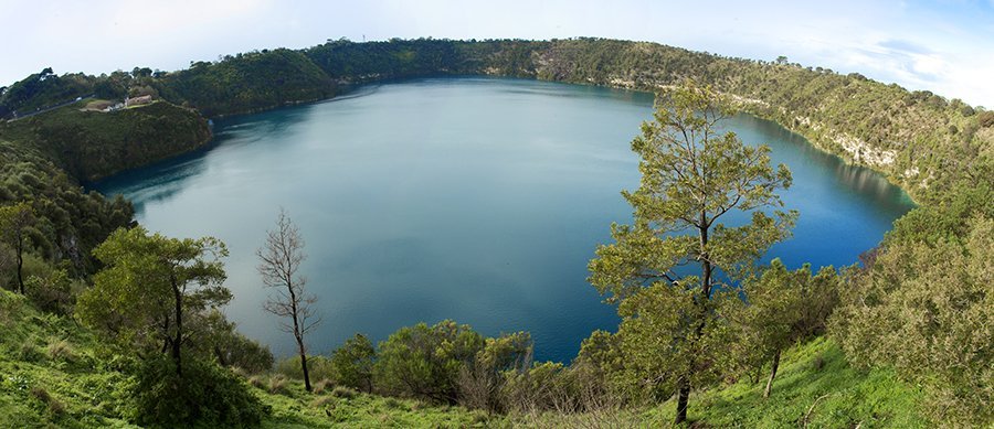
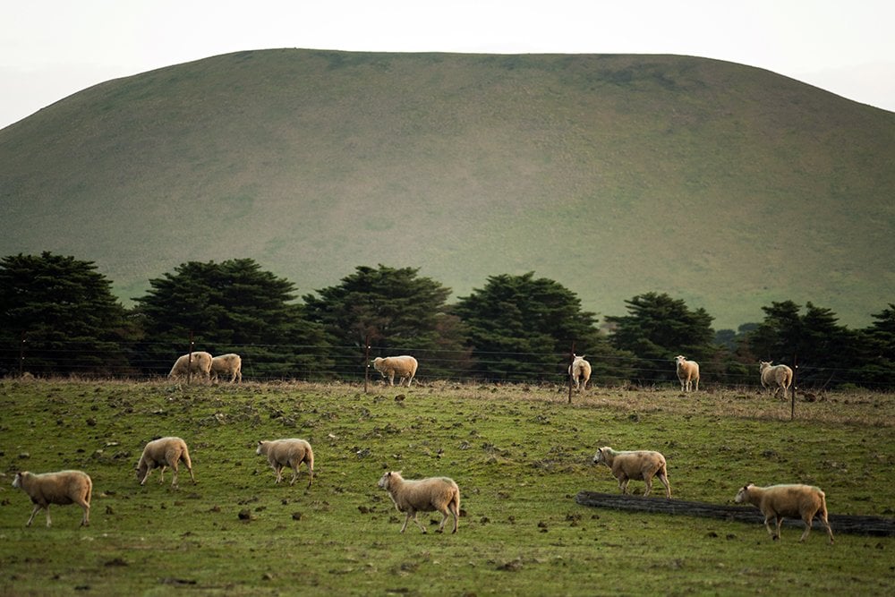
The abandoned scoria quarry in the foreground reveals the core of the volcanic cone at Mt Elephant in Derrinallum. The erupted lava breached the cone at the left.
Photo Credit: Don Fuchs
Mt Leura at Camperdown dominates the landscape, and from the top you can see a ring of other volcanoes stretching in a 270˚ arc to the north, east and south.
Photo Credit: Don Fuchs
Red rock craters.
Photo Credit: Don Fuchs
Lake Gnotuk in southwestern Victoria is an example of a maar – a shallow crater formed by a volcanic eruption with little lava.
Photo Credit: Don Fuchs
Mt Napier, south of Hamilton, as seen from the summit of Mt Rouse at Penshurst. Between these two significant volcanoes, the spreading lava has created what locals call ‘stony rises’.
Photo Credit: Don Fuchs
Park ranger Peter Hill at the entrance to a lava cave at Mt Eccles, which is the source of a lava flow that extends 50km to the coast.
Photo Credit: Don Fuchs
Across Mount Gambier in South Australia, the Blue Lake and its three companion maar craters sit in a precinct of groomed grounds, tracks and lookouts.
Photo Credit: Don Fuchs
Mt Elephant, a 240m conical breached scoria cone, formed by a dormant volcano, near the town of Derrinallum in south-western Victoria.
There are hundreds of dormant volcanoes and other geological features smattered across Victoria’s Western District, through to the border of South Australia.
Read the full story by Jeremy Bourke HERE.