10 best Australian multi-day hikes

SETTING OUT FOR THE day for a bushwalk is one thing – but committing to several days in the wilderness with everything you need to survive on your back is another experience altogether.
Multi-day hiking opens up a world of adventure opportunities, unlocking parts of Australia’s wilderness often accessible by no other means.
So lace up your boots, strap on your pack and don’t forget to pack the bandaids – here’s our list of 10 of Australia’s best long-distance hiking trails.
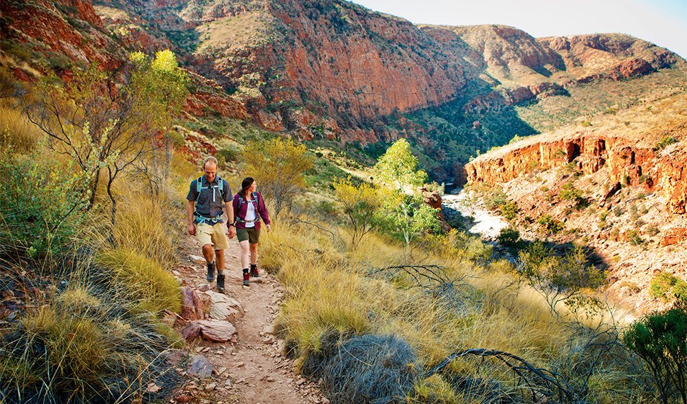
1. Larapinta Trail, NT

Image: Tourism NT
Location: West MacDonnell Range, Northern Territory
Length: 16–20 days (including rest days)
Distance: 223 km
Difficulty: Hard
Access: One-way walk; good road access along track, including at ends
Info: Walking during the cooler months, from April–September, is recommended. Food drops required.
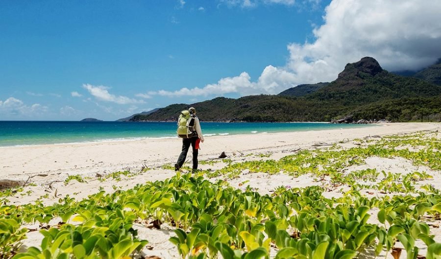
2. Thorsborne Trail, QLD

Image: Tourism Queensland
Location: Hinchinbrook Island, Far North Queensland
Length: 4–5 days
Distance: 32 km
Difficulty: Moderate
Access: One-way; boat transport required at both ends
Info: Walking during the cooler months, from April–September, recommended Permits required; need to be booked well in advance
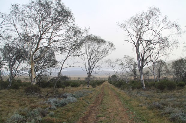
3. Australian Alps walking track, VIC/NSW/ACT

Location: High Country of ACT, NSW and Victoria
Length: 45–60 days (including rest days)
Distance: 655 km
Difficulty: Hard
Access: One-way; road access at both ends.
Info: Best done in the warmer months. Food drops required.
4. Fraser Island Great Walk, QLD

Lake McKenzie (Boorangoora). One of Fraser’s most popular drawcards. (Image: Andrew Gregory)
Location: Queensland
Length: 5–7 days
Distance: 84 km
Difficulty: Easy
Access: One-way; boat transport required to island; both ends of the walk accessible by vehicle
Info: Walking during the cooler months, from April–September is recommended. Campsite bookings and permits required.
5. Wilderness Coast Walk, VIC/NSW

Image: Joanna Egan
Location: South coast of NSW and Victoria
Length: 4–5 days
Distance: 61 km
Difficulty: Medium
Access: One-way; boat transport required at one end, road access at other
Info: Permit required, book in advance
6. Overland Track, TAS

Location: Tasmanian highlands
Length: 5–8 days
Distance: 74 km, plus many side trips
Difficulty: Medium
Access: One-way; road access and public transport links at both ends
Info: Permits required from November to May; walk must be completed north to south during this time
7. Eastern Arthur Range, TAS
Location: Southwest Tasmania
Length: 7–9 days
Distance: 89 km
Difficulty: Hard
Access: Return walk; Trackhead accessible by road, with public transport links in summer
Info: Steep and dangerous climbing required; summer walking recommended
8. Western Arthur Range Traverse, TAS

Image: Dave Cauldwell
Location: Southwest Tasmania
Length: 8–11 days
Distance: 75 km
Difficulty: Hard
Access: Circuit walk; road access and public transport links in summer
Info: Follows a steep and tricky skyline traverse; summer walking recommended
9. Cape to Cape Track, WA

Image: Andrew Gregory
Location: Southwest Western Australia
Length: 6–8 days
Distance: 135 km
Difficulty: Easy
Access: One-way; road access at both ends
Info: Spring wildflowers are a highlight; water may be hard to find
10. South Coast Track, TAS

Image: Justin Walker
Location: Southwest Tasmania
Length: 6–9 days
Distance: 85 km
Difficulty: Medium
Access: One-way; charter flight or extra 70 km walk to one end, road access with public transport links at other
Info: Walking in the warmer months is recommended

