Few regions revel in the outdoors quite as much as Victoria’s High Country. Here, the state’s mountains stand at their tallest and most impressive, ski fields run side hustles as summer mountain biking and hiking centres, cliffs turn thoughts to abseils and climbs, and rivers drain down the slopes, enticing paddlers to go with the flow. There’s mountains of fun guaranteed in the following High Country adventures.
Falls Creek to Hotham Crossing trek
The first time I walked this ski-field to ski-field summer crossing, its challenges were made clear when I read an entry in a visitor logbook in Derrick Hut: “Nearly there. Thank f….”. From Falls Creek, the Crossing dips all the way to the Cobungra River before making the long haul back out and up to Hotham, but it’s one of those walks where the effort is secondary to the reward.
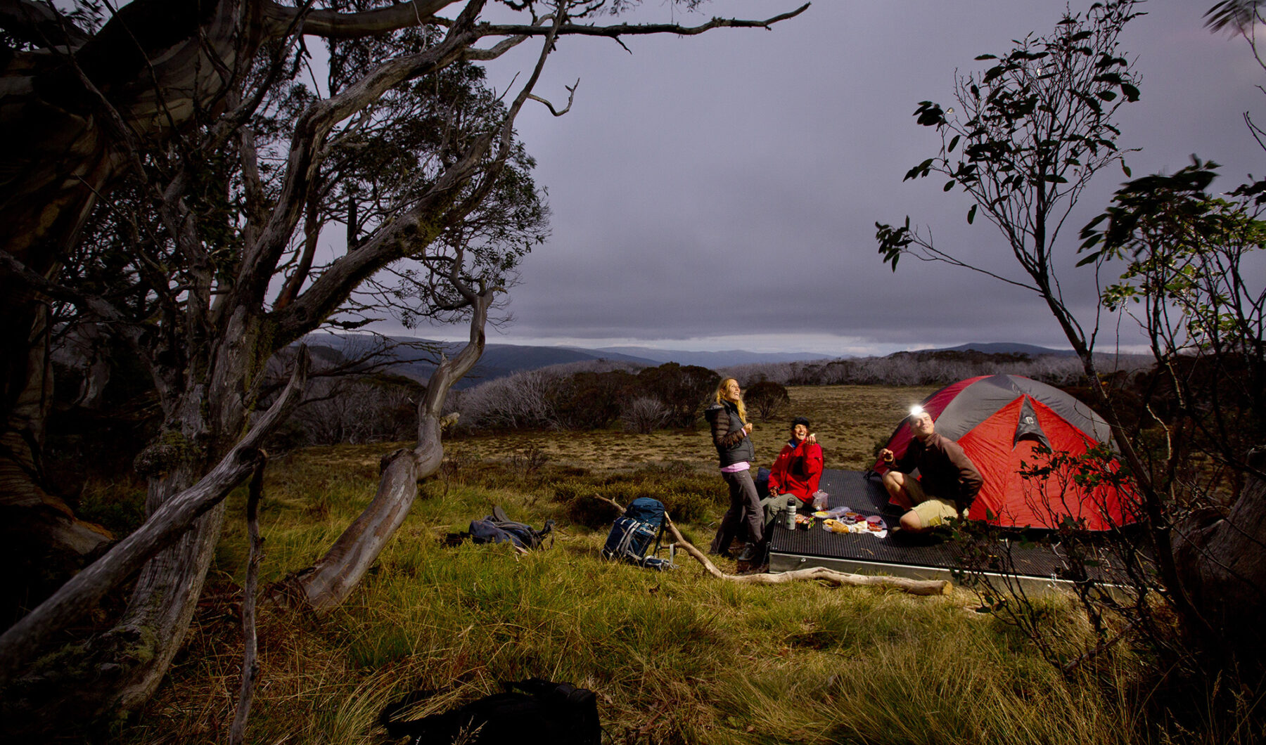
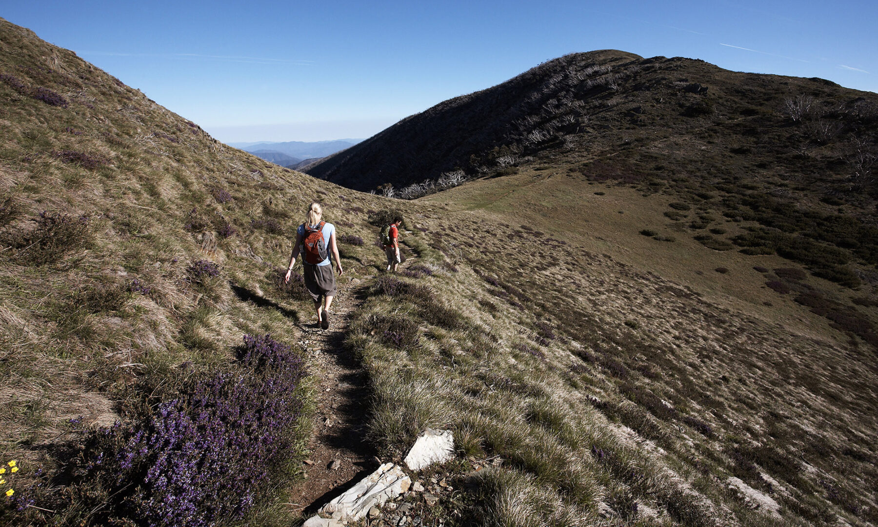
Atop the Bogong High Plain, the three-day, 37km crossing makes a beautiful approach from Falls Creek to Wallaces Hut, one of the most evocative and photographed of all the High Country huts, before ending the day at a campsite beside Cope Hut, 14km from Falls Creek. It’s a short sharp descent the next day to another campsite at Dibbins Hut (another 14km from Cope Hut), in a snow clearing beside the Cobungra River. Both camps have tent platforms. It’s then a 400m ascent on Swindler’s Spur to Derrick Hut and the finish at Mt Hotham Village.
7 Peaks
When road cyclists eye off mountain climbs, they typically look to the High Country first. And with good reason. A collection of the best High Country road rides has been gathered together as the 7 Peaks, creating Australia’s truest Alpine-style cycling challenge. Completing the seven – Mt Buller, Mt Hotham, Falls Creek, Mt Buffalo, Mt Baw Baw, Lake Mountain and Dinner Plain – is a choose you own adventure that can be completed over any timeframe, from a week to a few leisurely summers. Lake Mountain is the closest peak to Melbourne and a good starting point to any 7 Peaks mission, setting out up Robley Spur – the steepest part of the climb – on a 21km ascent from Marysville.
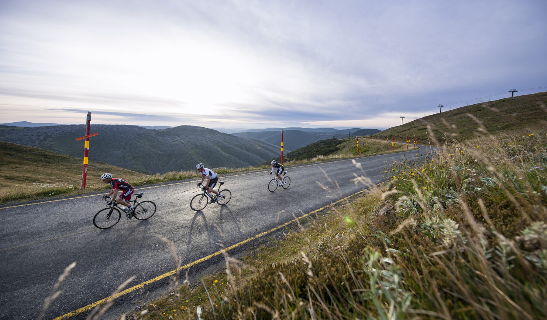
The most inviting of the mountains, for its manageable gradients and distracting views, is Mt Buffalo, with its summit road ascending 1000m over 20km to the front steps of the mountaintop Chalet. It’s a climb blessed with beauty, be it the imposing cliffs of Buffalo’s Gorge above, or the bare rock faces of Eurobin Falls. In contrast, the Mt Baw Baw ride ascends 740m in just 6.5km, earning it notoriety as one of Australia’s toughest road climbs – the average gradient is more than 11%, ramping up to 20% at times.
Pedal all 7 Peaks and the climbs total more than 7000m over 160km.
Family fun
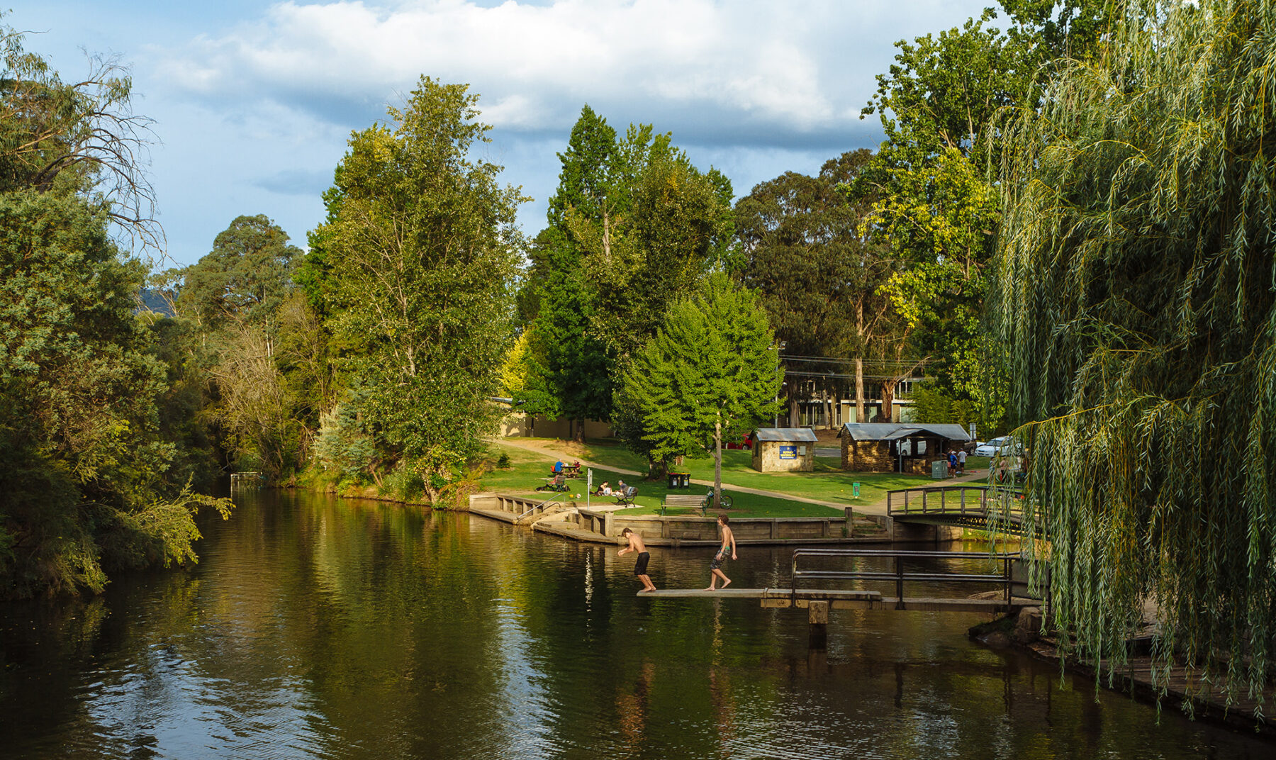
The High Country’s outdoor thrills have no age requirement, with plenty on offer for families. Hot summer days call for a few hours at Bright’s Splash Park beside the confluence of Morses Creek and the Ovens River, where the kids can fire water cannons at each other (or you) and get drenched by an old gold dredge bucket as it tips water over the park. Immediately beside the park is a patrolled river beach with a calm pool above a dam wall in the Ovens River, with the Rotary Waterslide into the river just upstream.
Feed the fish or catch one at Mountain Fresh Trout and Salmon Farm near Harrietville, and settle in among the critters – from white lions to bison and wombats – with a night of camping at Mansfield Zoo. There’s space for 25 campers dotted through the zoo, promising an evening in which the lullabies might be a lion’s roar or a dingo’s howl.
Paddling in the High Country
Peer into the folds and high plains of the mountains and you’ll find water, be it rushing rapids or placid lakes, providing plenty of paddling opportunities. The Ovens River is one of the arteries of the region, flowing down from the slopes of Mt Hotham through Bright, and also one its finest natural water parks. In a kayak, packraft or sports raft, you can ride the river’s grade I and II rapids around Bright or Myrtleford – it’s a leisurely float when water levels are low in summer, and more foamy and furious in winter. Hire a kayak or stand-up paddleboard (SUP) from beside the Bright Splash Park, or join a white-water kayak tour with Adventure Guides Australia or Bright Adventure Company that are suitable even to beginners.
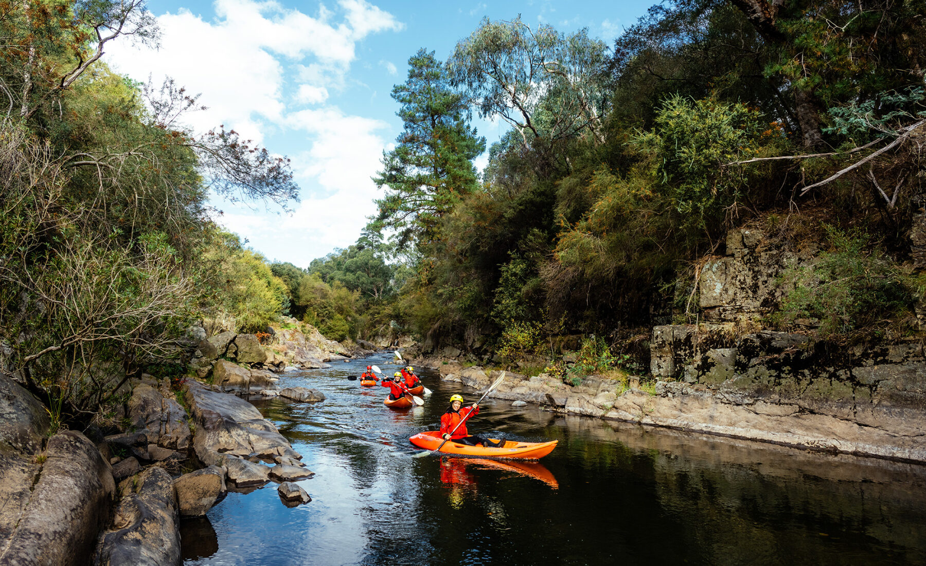
Kayaking highs come at Rocky Valley Lake and Lake Catani. Set 1600m above sea level beside Falls Creek Village, Rocky Valley Lake is one of the highest significant bodies of water in the country, making it a unique spot to paddle, while Lake Catani is pooled among snow gum and alpine ash forest atop Mt Buffalo, creating another distinctive backdrop to a kayak or SUP outing.
The High Country’s Epic MTB trails
It takes a lot to get into the good books of the International Mountain Bicycling Association (IMBA). Only one place in Australia has been designated as an IMBA Ride Centre, placing it at the pinnacle of the world’s mountain biking communities. That place is Mt Buller.
Similarly, and until very recently (more on this later), only one trail in the country had the distinction of being classified as an ‘Epic’ by the IMBA, recognising it as among the world’s best backcountry rides, demanding, predominantly on singletrack and at least 32km in length. That trail is on Mt Buller.
Even under the weight of such kudos, the Alpine Epic doesn’t disappoint. The ride begins at the heights of Mt Buller Village, squeezing between lodges and setting out on a 46km journey to the base of the mountain, connecting a string of trails as it goes.
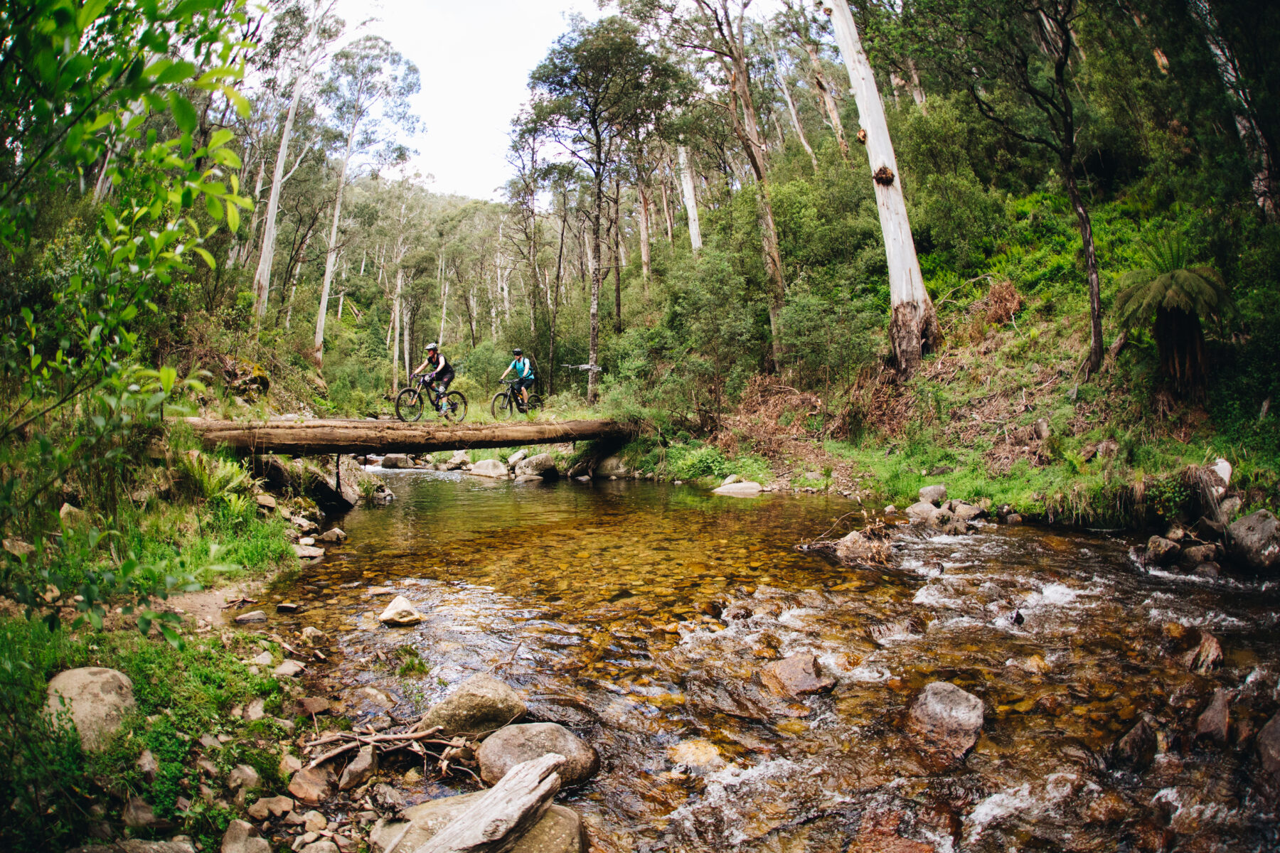
At its top, it’s a gentle ride through colourful groves of snow gums before it crosses Howqua Gap and switches onto the slopes of Mt Stirling, ascending in dizzyingly tight switchbacks on Stonefly, a classic trail in its own right.
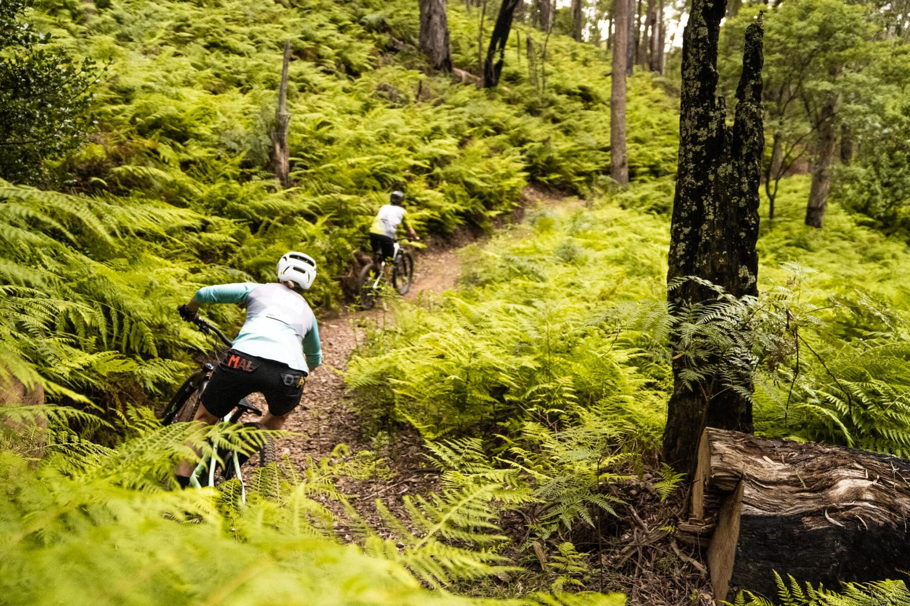
Where the Epic gets truly epic is over its final 7km, where it descends 500m through swooping berms and flowing straight through tall forest to the banks of the Delatite River. It’s one of the best descents in Australia. Blue Dirt Mountain Biking runs a shuttle bus to get you back to the top of the mountain.
Proving the Vic High Country really is the home of ‘epic’ riding in Australia, the recently announced second IMBA Epic Trail in Oz is also found in the Vic High Country. The Indigo Epic Trail is a new 56km MTB trail connecting the historic towns of Beechworth and Yackandandah, taking riders through some incredible High Country landscapes. And thanks to its location, the Indigo Epic Trail can be ridden all season. Get pedalling, folks!
Camping in the Wonnangatta Valley
Remote camp sites abound through the High Country, as do challenging and secluded 4WD tracks. Combine the two with a stay in the Wonnangatta Valley, hidden deep inside the mountains. The valley is part of the 222km Wonnangatta Icon Drive loop, and can be reached from multiple points: Mansfield, Dargo, Licola, Porepunkah.
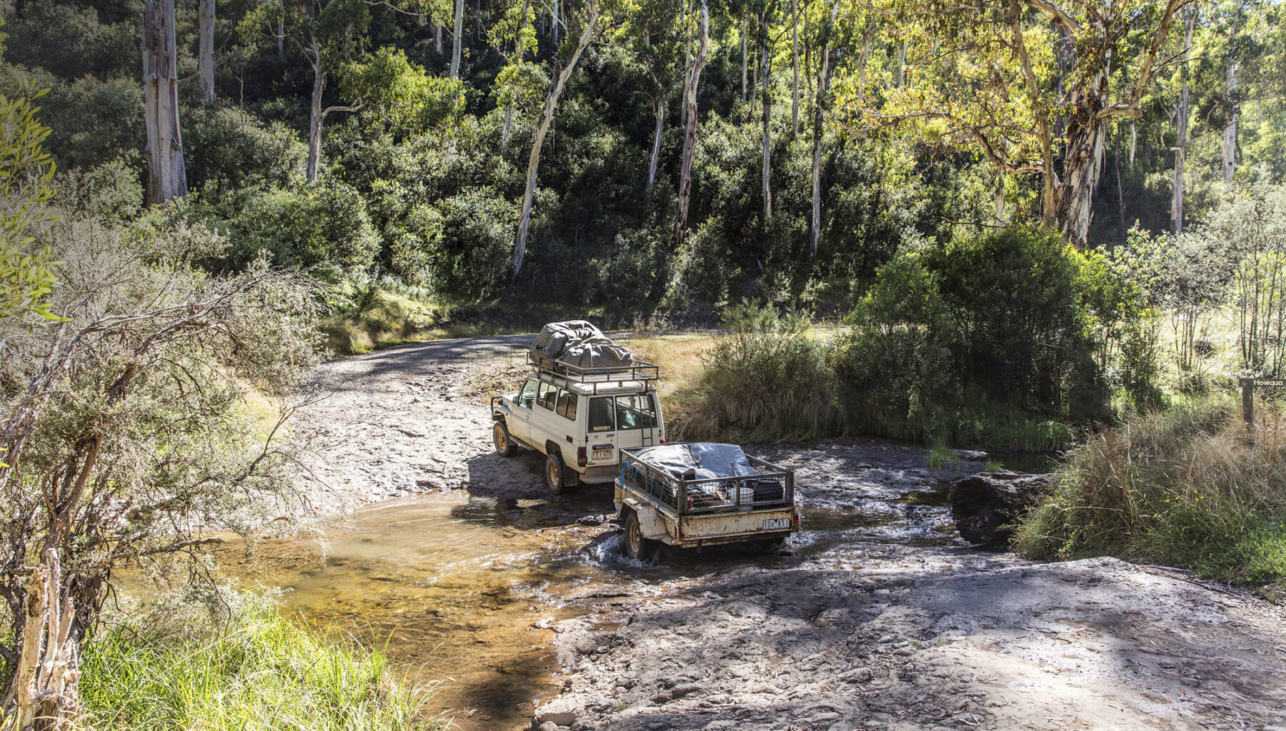
The Homestead Flat camping area, surrounded by peaks, is on the bank of the Wonnangatta River as it flows through Wonnangatta Station, best known as the site of two unsolved murders – the station manager and cook – in 1917. The ruins of the homestead, which burnt down in 1957, remain, as does a cemetery containing the graves of early settlers. There are other nearby campsites at Howitt Hut (beside one of the oldest huts in the area), Eaglevale and Talbotville, a goldfields service town turned ghost town.
Mystic Mountain Bike Park
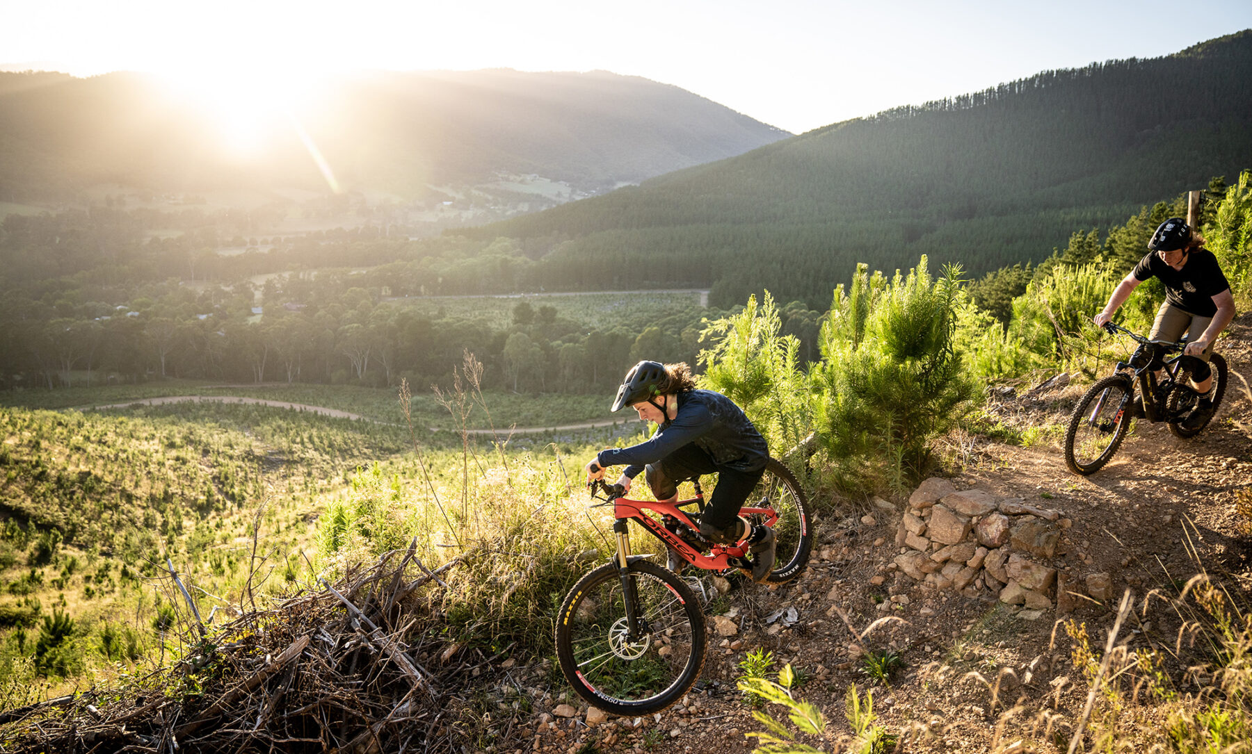
You’re spoiled for choice for mountain bike parks throughout the High Country. Beechworth, Falls Creek, Mansfield, Dinner Plain and Mt Beauty all sport trails, while there’s love in the loam at Bright’s Mystic Mountain Bike Park, with its 50km of trails through a working pine plantation largely hand-built by the local Alpine Cycling Club.
The hero trail at Mystic is, literally, Hero Trail. Modelled on one of the world’s most famous mountain bike trails, Whistler’s A-Line, and rebuilt at the end of last year, Hero descends 120m over 1.9km. With its tabletops, gap jumps and ramps, it’s an intimidating trail on sight, but it can be just as easily trundled as torn apart, rolling gently over the jumps and curling slowly through the berms.
On the bank of Morses Creek are Mystic’s flatter, family-friendly pump track and the flowy Hot Wheels, a 2km green trail that’s a great introduction to singletrack riding (with a few more technical features on alternative lines). From here, it’s just a couple of kilometres back into Bright for a restorative beer at Bright Brewery, or dinner at the town’s wide selection of quality restaurants.
Note that a membership is now required to ride at Mystic Park; purchase it through the Hivepass app.
Rail Trails
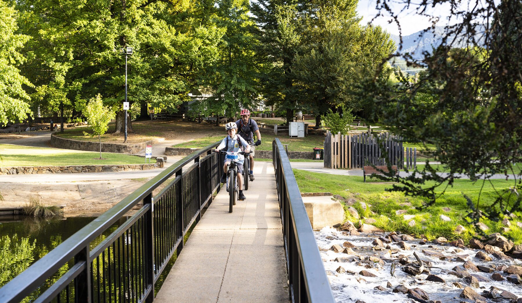
If you wearied just reading about the 7 Peaks, consider instead the ease of one of the High Country’s trio of rail trails. These former railway lines, converted into cycling trails, bring with them the promise of gentle gradients (trains disliked climbs almost as much as most cyclists) and regular towns and stops.
The Murray to Mountains Rail Trail, stretching for almost 100km from Wangaratta to Bright, is arguably Australia’s most famous bike path, travelling almost entirely in sight of the High Country mountains, but never quite in them. Instead of climbs, you get cellar doors, walnut farms, berry farms, craft brewers, cafes and Australia’s only pumpkin seed producer, along with old tobacco kilns, hops fields and natural bushland. Continue along any of Murray to Mountains’ side trails to the likes of Beechworth, the Milawa Gourmet Region and Rutherglen, and you can add even more goodness to the journey.
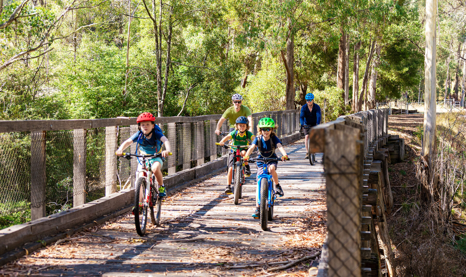
The Great Victorian Rail Trail is Victoria’s longest rail trail, stretching for 120km from Mansfield to Tallarook, with a 13km side trail to Alexandra. Conversely, the highlight of this trail, which skirts Lake Eildon, is in its largest climb as it cuts through a 200m-long railway tunnel that is the longest rail-trail tunnel in the state.
The High Country Rail Trail sets out from Wodonga and finishes 80km later at the site of what was once Victoria’s highest railway station. Much of the ride is along the shores of Lake Hume, past the long-flooded old town of Tallangatta and, at one point, across a 600m-long bridge over the lake.
Cliff hangers in the High Country
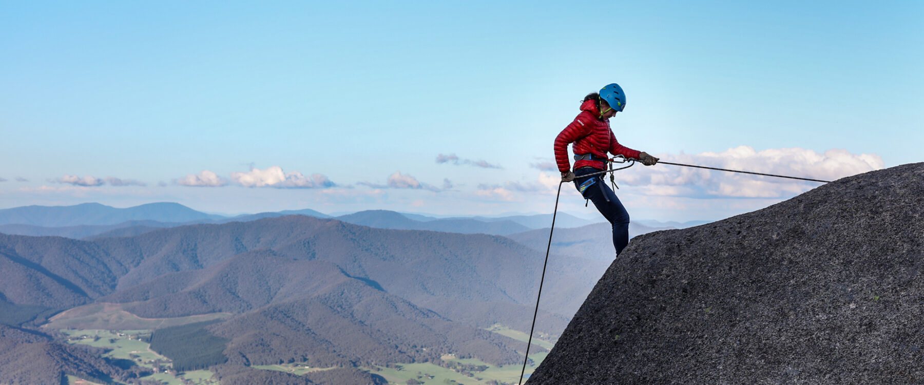
Mt Buffalo is the Swiss Army knife of outdoor destinations, offering a vast array of adventure possibilities, many of them framed around the gaping Gorge. With some of the tallest cliffs in the country, it’s the perfect vertical venue for abseiling tours that range from 25m-high descents for the family, to day-long 300m epics from top to toe of the Gorge.
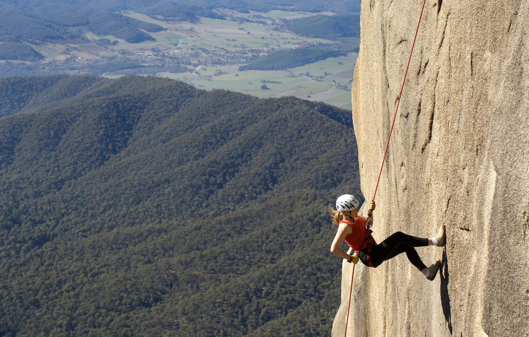
Climbers gravitate to the likes of Ozymandias, one of Australia’s most challenging big-wall rock climbs, but even rock mortals can experience life on a portaledge, with Bright Adventure Company offering cliff picnics suspended from the cliffs, and Unleashed-Unlimited running the country’s only commercial portaledge camping experience – a night hanging off the cliffs.
Prefer to be in the mountain rather than on it? Then join an underground river caving trip with Bright Adventure Company, wading, climbing and splashing through waterfalls and over boulders inside a 350m cave that sparkles with glow worms. You can also stay dry on a canyoning trip run by Adventure Guides Australia that’s suitable for children as young as five.
The Razorback Walk
Ridge walks get little more dramatic than the well-named Razorback, a narrow ridge strung between Mt Hotham and Victoria’s second-highest (but arguably most spectacular) peak, Mt Feathertop. This high-level traverse, more than 1600m above sea level the entire way, has a couple of hiking options.
As a day walk, it’s a 22km out-and-back route, taking up to seven hours, from Diamantina Hut on the slopes of Mt Hotham. The hike along the ridge is relatively flat, with the rugged eastern face of Mt Feathertop beckoning ahead. Through a run of false summits, the trail ascends to the 1922m mountaintop, which is sometimes described as Australia’s only true Alpine peak, with glorious views across the High Country.
Feathertop and the Razorback have also long been a favourite overnight outing for hikers. From Harrietville, a trail ascends Bungalow Spur, relentlessly ascending around 1400m to the summit of Feathertop. From here, the walk crosses the Razorback, turning down Bon Accord Spur for a knee-crunching descent back to Harrietville.
Fact File
For more info on these (and many more) High Country adventures, go to:
