0/3
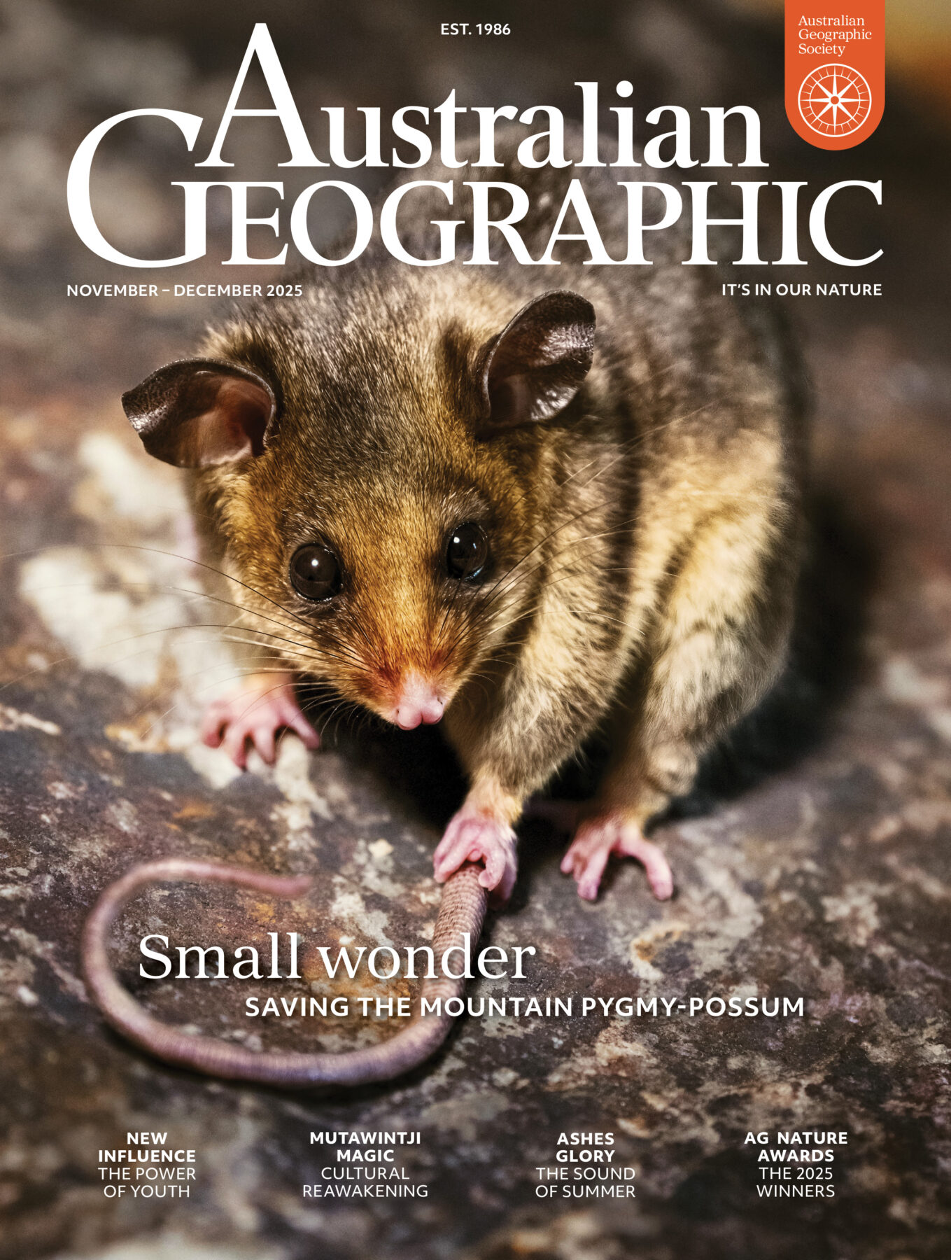
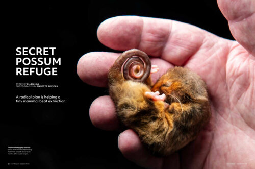
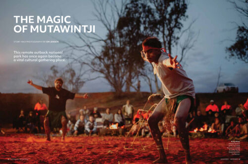
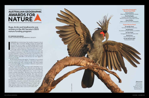
This month in
Australian Geographic
Delve into the latest issue of our award-winning magazine.
Subscribe to magazineDiscover the world of Australian Geographic
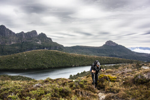
AG Adventure
Get all your outdoor inspiration here – adventures, destinations, gear tests and expert advice.
Discover more
AG Society
Australian Geographic contributes 100% of its profits to its registered charity, the Australian Geographic Society, to fund its conservation and sustainability grants.
Discover more
AG Travel
At Australian Geographic Travel our objective is to inspire love and care for Australia: our nature, our people, our places!
Discover moreDive into a world of Australian wildlife, science and adventure
Browse all videosAustralian Geographic Shop
Browse our online store for gifts, gadgets, puzzles, books and more
Talking Australia podcast
Talking Australia shares the stories of Australia’s most inspiring adventurers, conservationists and wildlife experts. Listen as they take you on a journey around this magnificent country and beyond.
