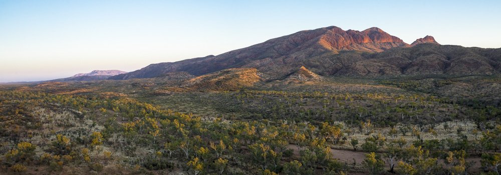
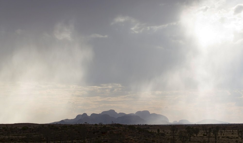
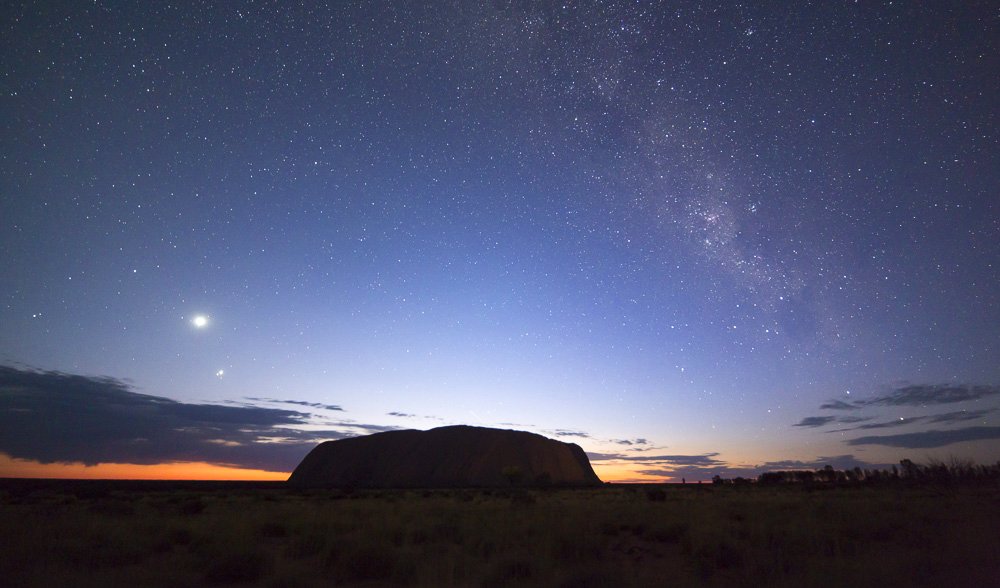
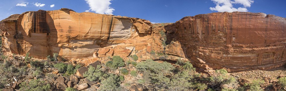
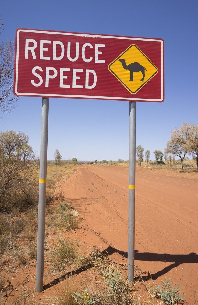
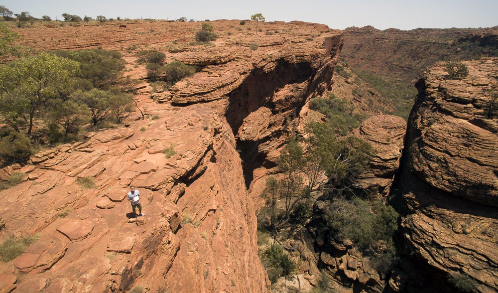
The beautiful pastel colours of Rainbow Valley are revealed from above. The tougher iron-and-silica-rich red and brown rocks cover the softer white and yellow rocks, which are slowly crumbling away onto the dunes and plain.
Photo Credit: Andrew Gregory
The bright glow of the Milky Way sets the night sky ablaze above Rainbow Valley, part of the James Range, 75km south of Alice Springs in the Northern Territory. The planet Venus can be seen rising to the left.
Photo Credit: Andrew Gregory
The Finke River is formed just north of Glen Helen Gorge, in the West MacDonnell National Park, and here it flows through the gorge and for hundreds of kilometres into the Simpson Desert. The permanent waterhole provides a welcome swimming hole to escape the outback heat and is a significant reuge in summer for the nine species of fish recorded in the Finke, and migrating waterbirds.
Photo Credit: Andrew Gregory
Henbury Meteorites Conservation Reserve, 145km south-west of Alice Springs, NT. About 4700 years ago a series of craters were formed when 12 meteorites hit the earth at Henbury. The shape of one of the largest craters can be seen clearly from the air. Extraterrestrial rock has been recovered from the site, including one piece weighing 44kg.
Photo Credit: Andrew Gregory
The peak of Mt Sonder is set ablaze by the morning light. This panorama was captured while Andrew hovered his camera drone above Davenport Creek. It reveals the long slope up to the summit and Mt Razorback behind. At 1380m, Mt Sonder is the fourth highest mountain in the Northern Territory.
Photo Credit: Andrew Gregory
Shafts of sunlight flicker through sheets of rain as an outback storm passes over the many domes of Kata Tjuta (The Olgas), 25km west of Uluru. Rainwater run-off has eroded the form of the domes as we see them today.
Photo Credit: Andrew Gregory
Backlit by the night sky, Uluru forms a classic silhouette. The stars of the Milky Way and the planets including Venus can still be seen as the first glow of dawn pierces the horizon.
Photo Credit: Andrew Gregory
The south and north side of Kings Canyon are revealed in one image. By hovering the UAV (unmanned aerial vehicle) within the canyon and rotating the camera, Andrew can capture 24 images and stitch them together to produce a 180-degree panorama. The canyon is slowly widening all the time and huge blocks of sandstone fall to the valley floor below.
Photo Credit: Andrew Gregory
Parked on the road into Tnorala (Gosse Bluff) the 4WD has become the charging and control station for the drones. Seen from 100m above, the pilot Andrew Gregory is lost amid the dots of spinifex carpeting the red dirt.
Photo Credit: Andrew Gregory
The Mereenie Loop Road forms a major link that allows you to access some of the amazing sites along the Red Centre Way. This unsealed section of road passes through aboriginal-owned land. A permit is required and gives an opportunity to experience the rugged outback. The scenery changes from mountain ranges to red sand hills and desert plains.
Photo Credit: Andrew Gregory
The first rays of sunlight set the towering walls of Tnorala (Gosse Bluff) aglow. This aerial view from 120m up with Andrew’s camera drone shows the dirt track that leads inside this 5km wide crater. Tnorala, 175km west of Alice Springs, was formed 142 million years ago when a comet hit the Earth. The original impact crater was crater was 20km wide.
Photo Credit: Andrew Gregory
The late afternoon sun warms the interior of the Tnorala (Gosse Bluff) meteorite crater. Erosion has created striking patters in the grand walls. To capture this image the UAV was launched from the centre of the crater and flew towards the walls at an altitude of 120m, the UAV has a range of 1.7 kms.
Photo Credit: Andrew Gregory
The Mereenie Loop road is a rough outback track with corrugations that will test your vehicle. It’s an adventure away from the main highway with dingos, eagles and camels being common roadside visitors.
Photo Credit: Andrew Gregory
Photographer Andrew Gregory stands above the Garden of Eden at Kings Canyon in Watarrka National Park; he is preparing to fly his UAV copter through the narrow gap and up against the sheer canyon walls. The Garden of Eden penetrates into the water table and reveals the geology of the canyon. It can be reached on the Kings Canyon Rim Walk (6km loop. 3-4 hrs duration).
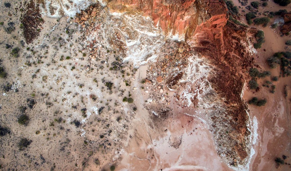
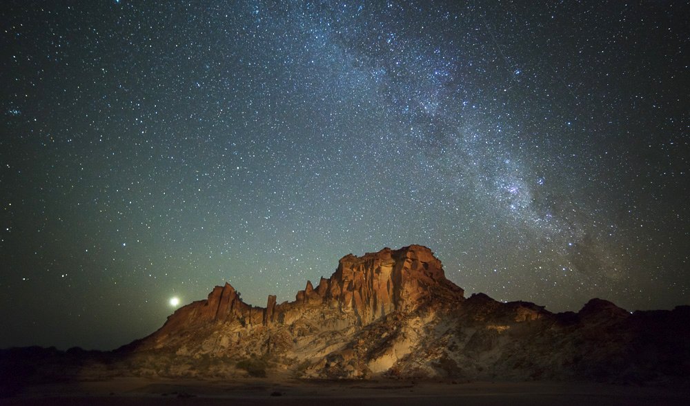
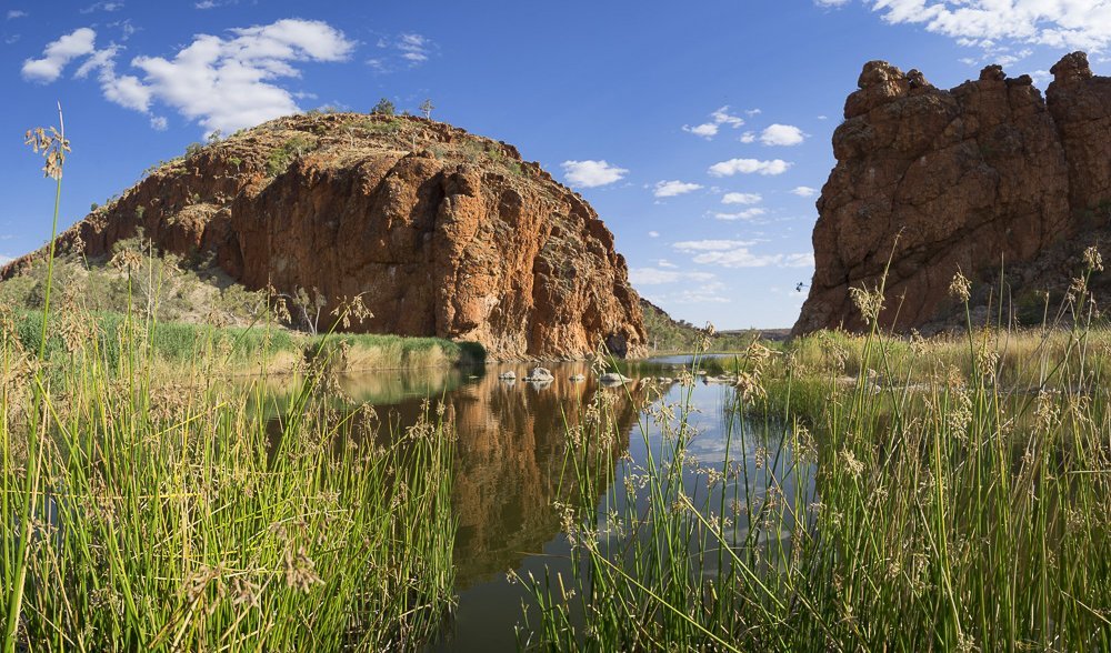
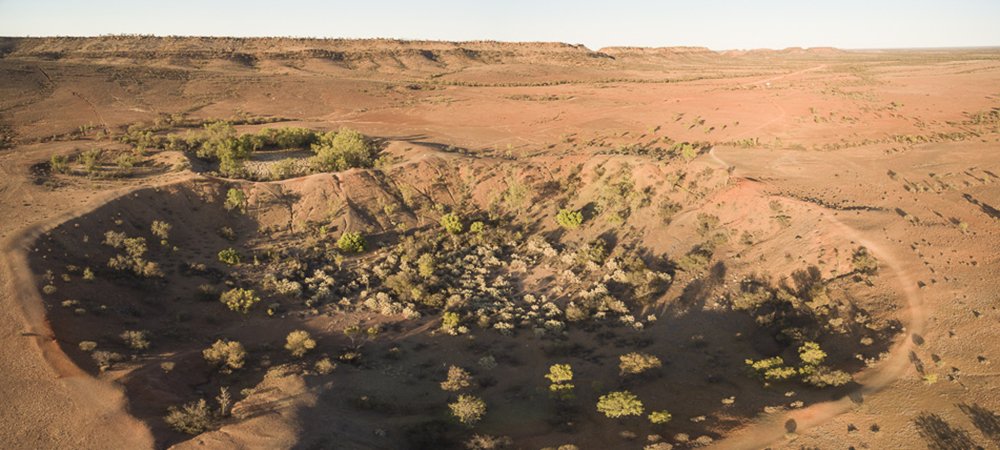
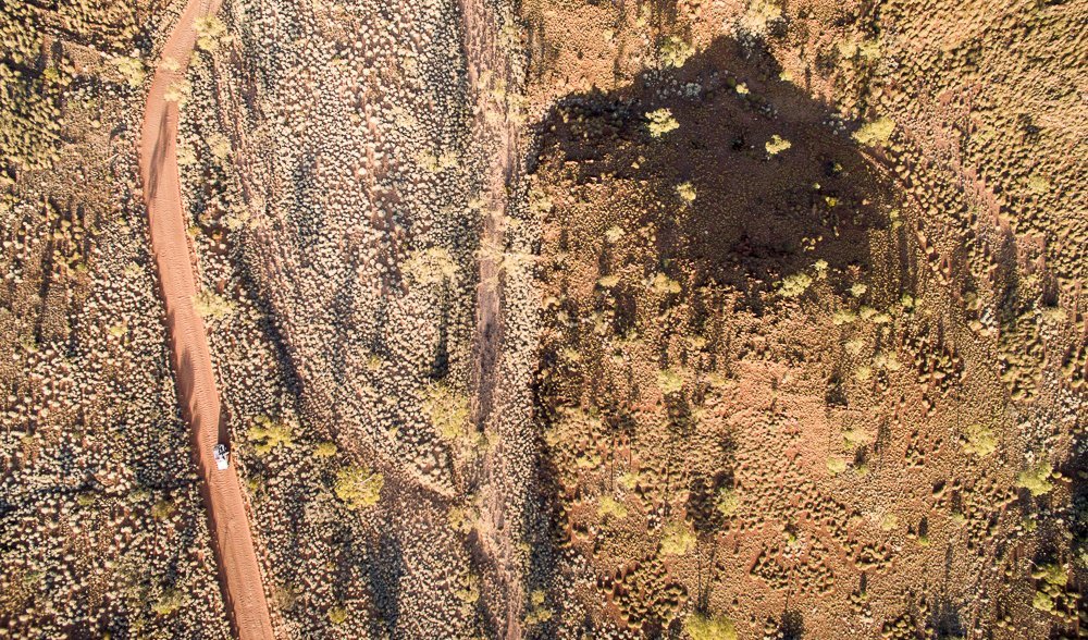
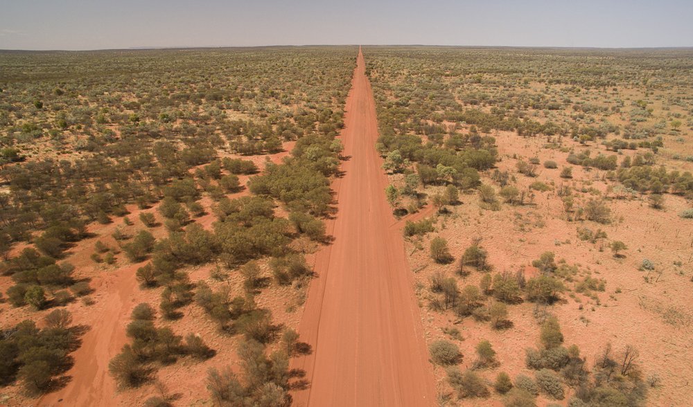
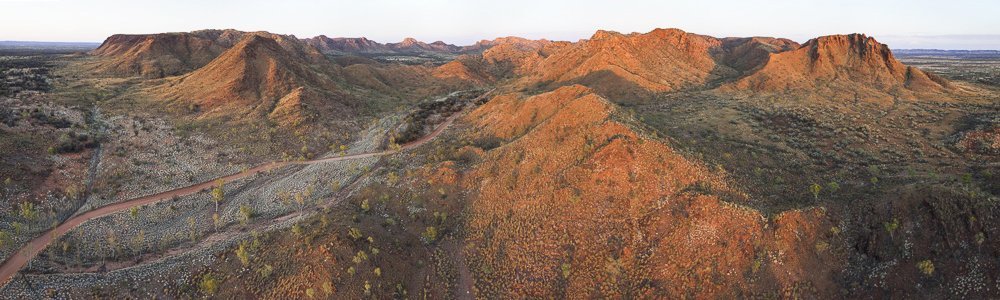
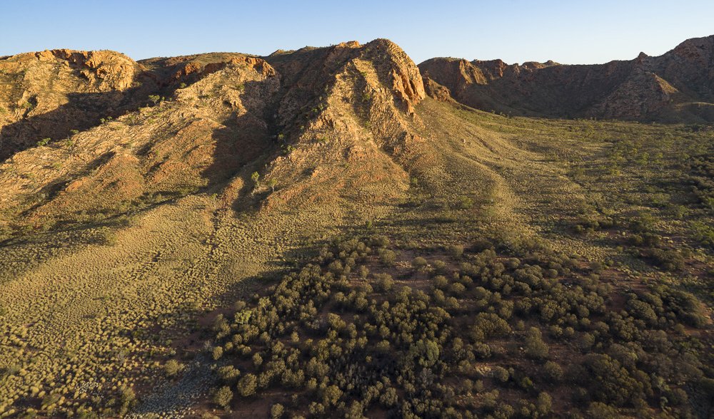
Veteran AG photographer Andrew Gregory gets a new perspective on Central Australia’s landmarks with his camera drone. Find the full story in the Jan/Feb print issue (#130) of Australian Geographic.