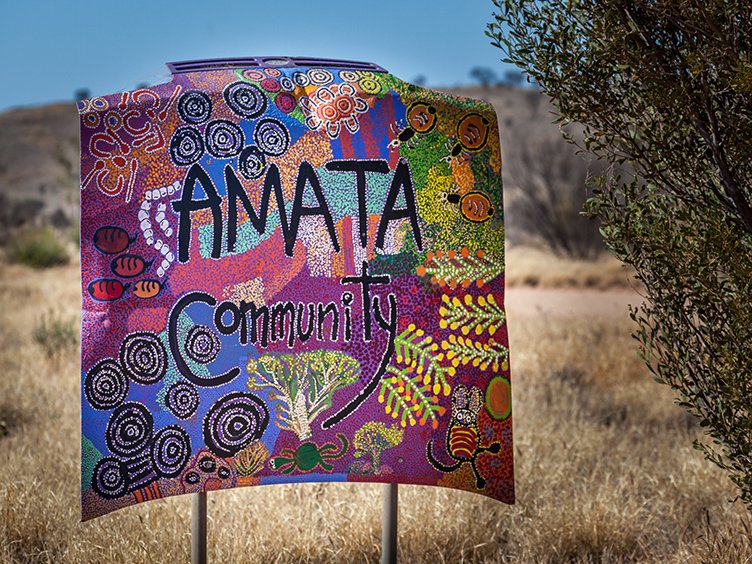
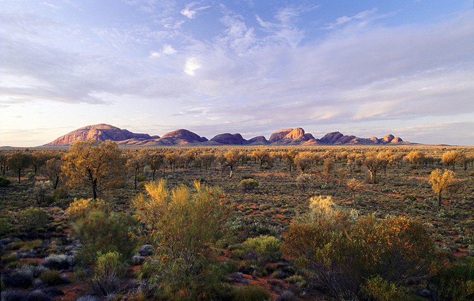
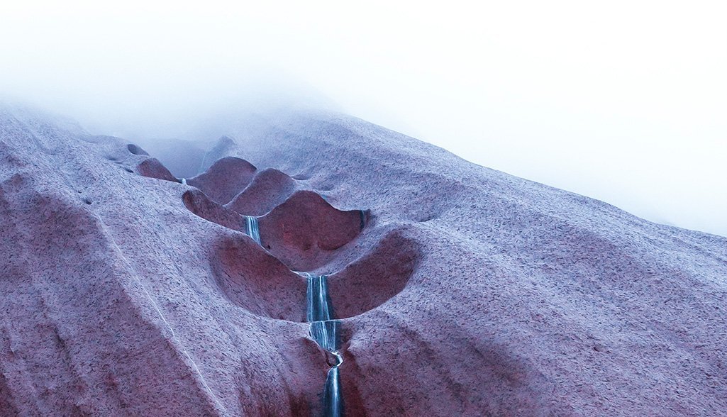
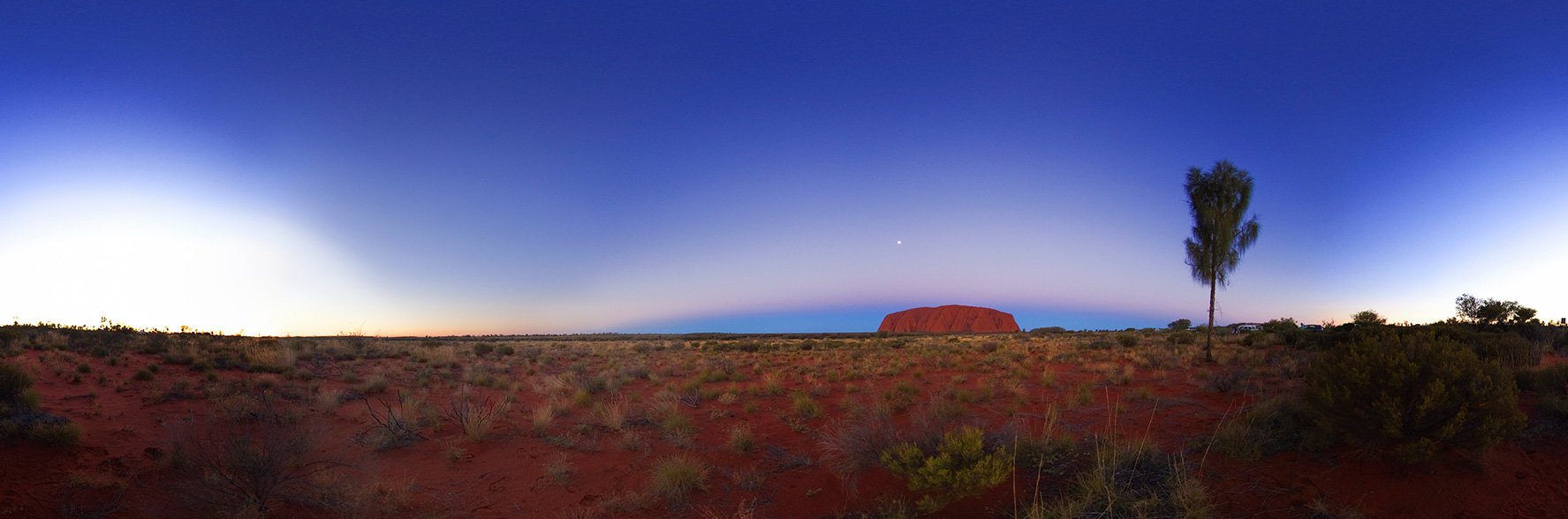
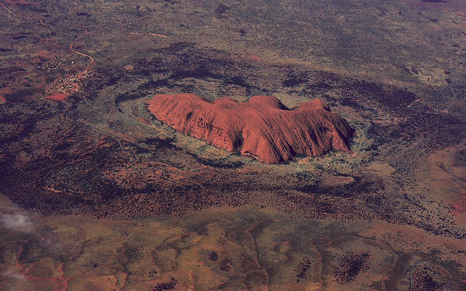
GALLERY: Uluru’s many faces
11 September 2014

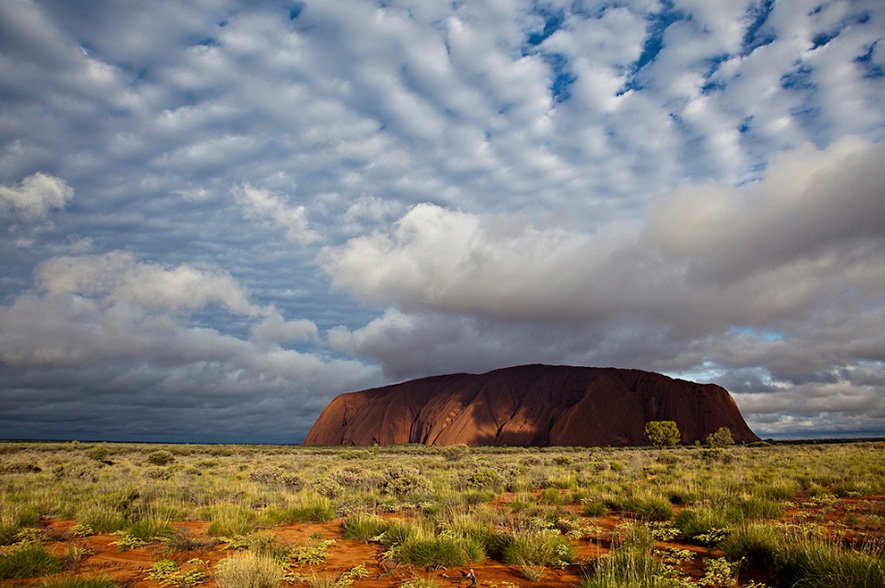
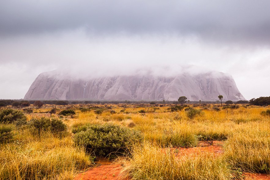
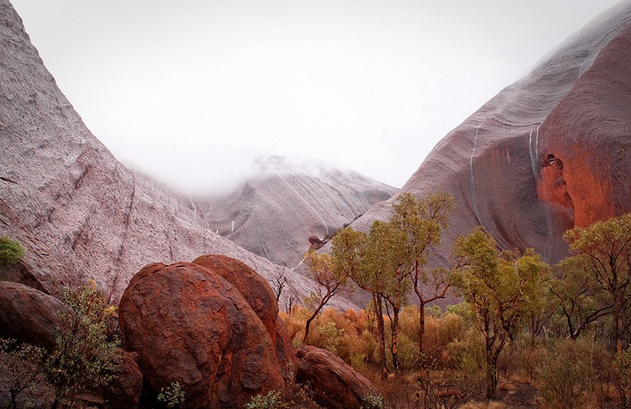
Uluru shaded by clouds. (Credit: Grenville Turner)
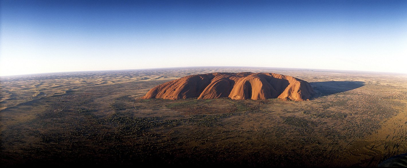
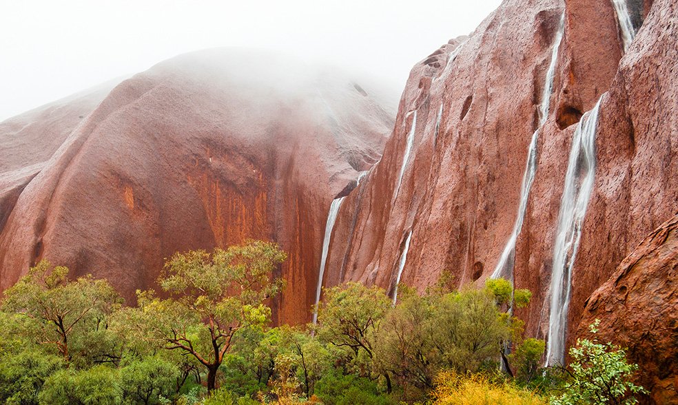
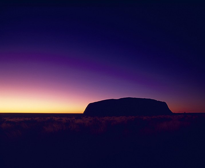
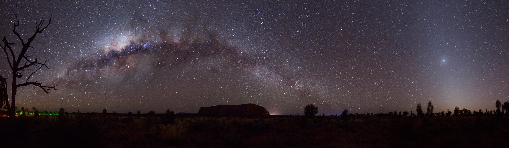
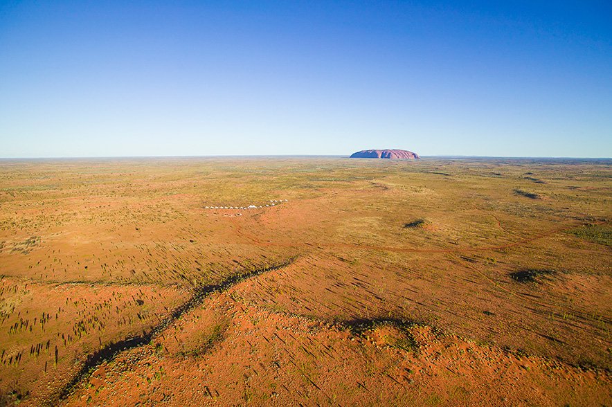
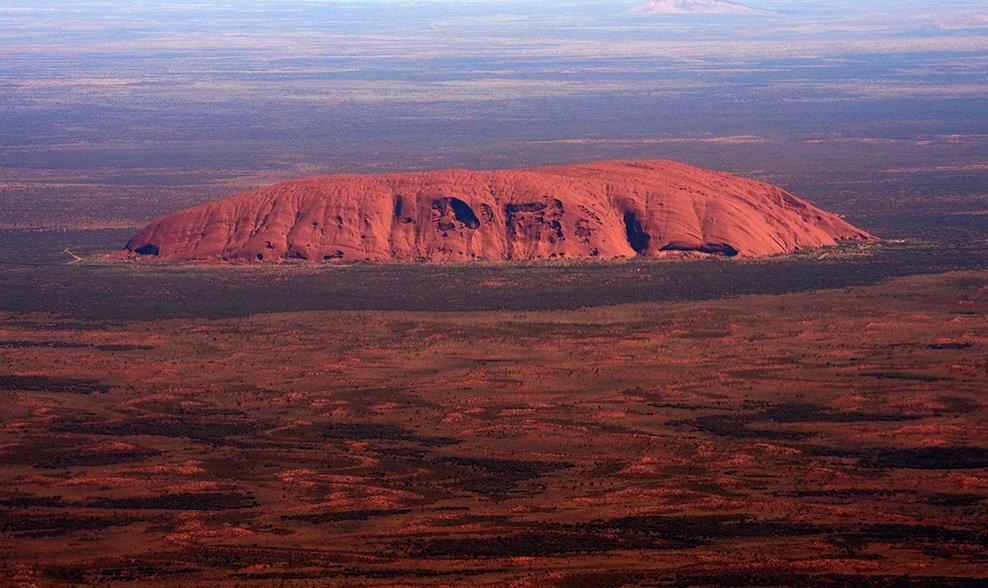
For years, Uluru has been photographed by veteran shutterbugs. Its many moods require a diverse set of skills to capture. On days of downpour, water cascades down its mist-shrouded shoulders. If the weather’s clear, it appears as a bright red monolith red against the open blue sky.

