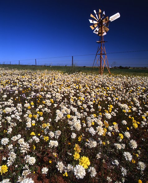
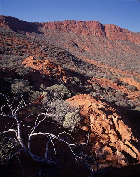
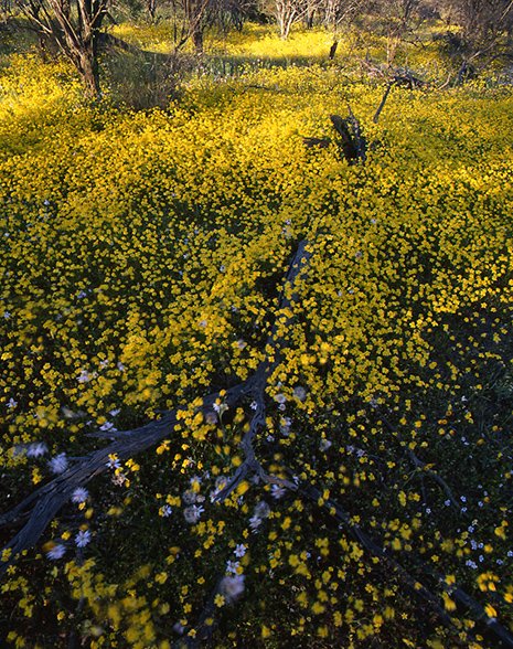
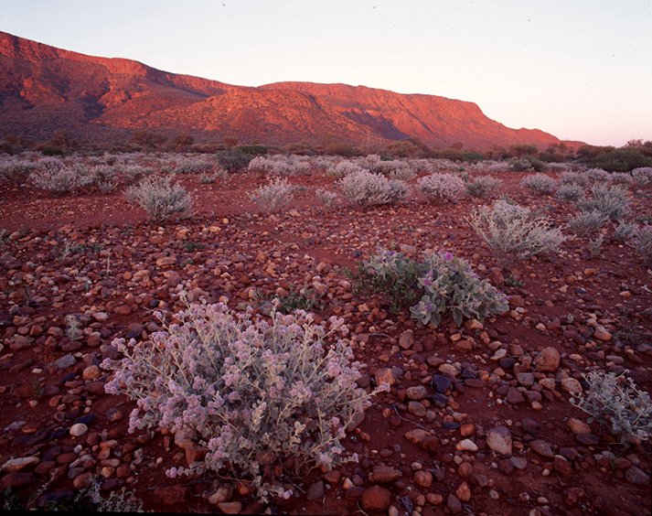
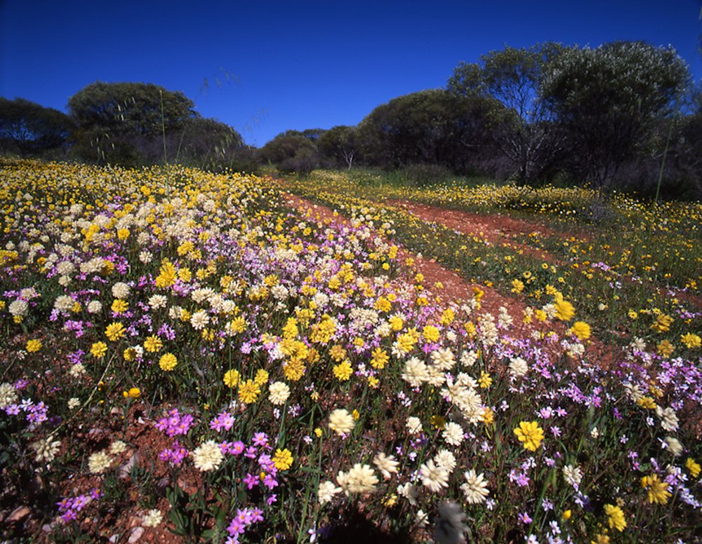

Gallery: Mt Augustus National Park
4 September 2014
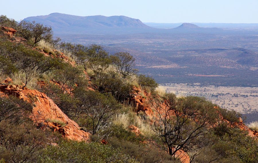
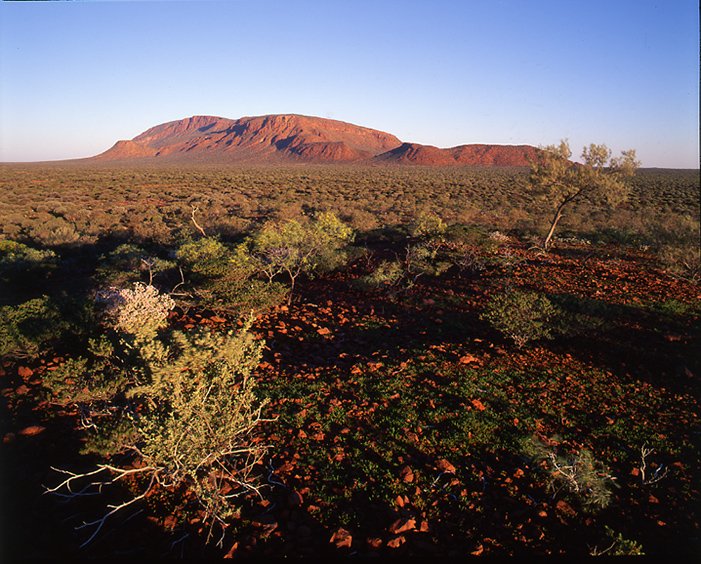
The imposing inselberg is formed mostly of orange sandstone, and rises 1105m from the surrounding plain.
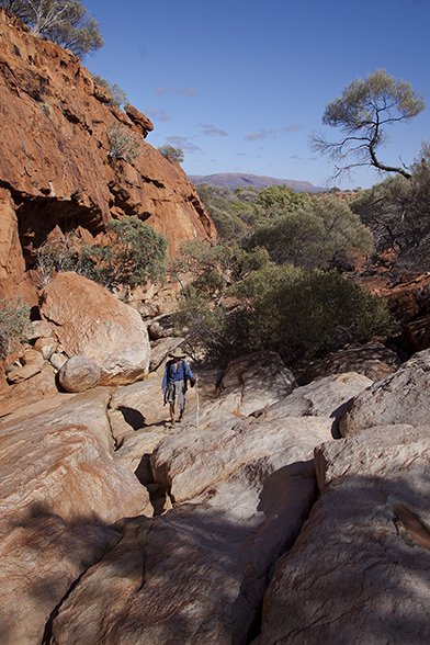
Surrounded by desert, Mt Augustus is a colossus that transports walkers through ages past and present.

