


Gallery: Heysen Trail
13 March 2014

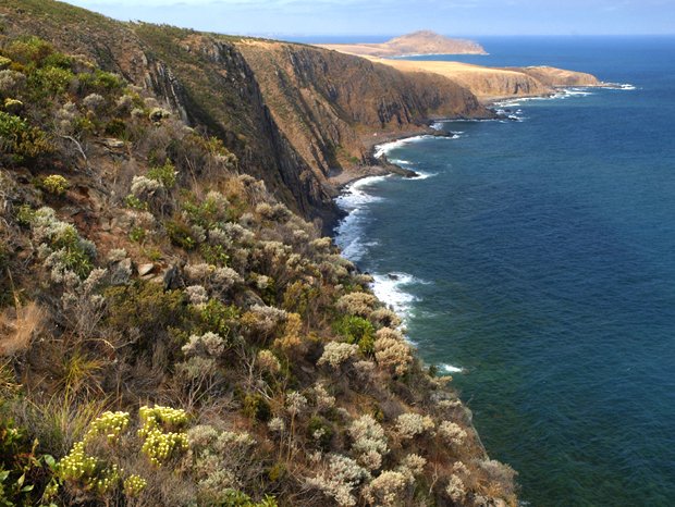
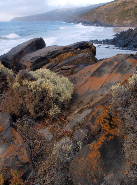
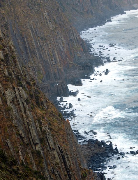
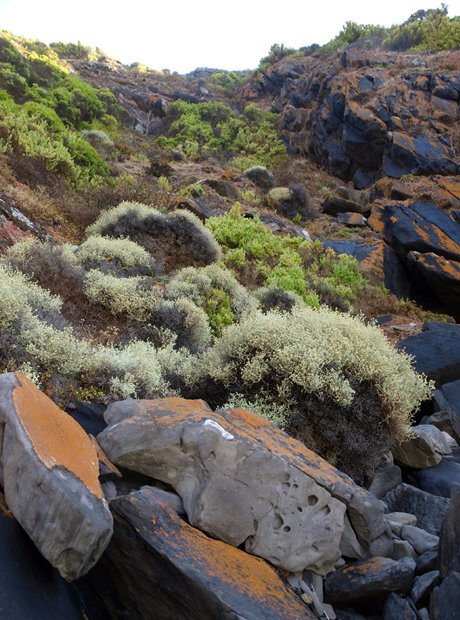
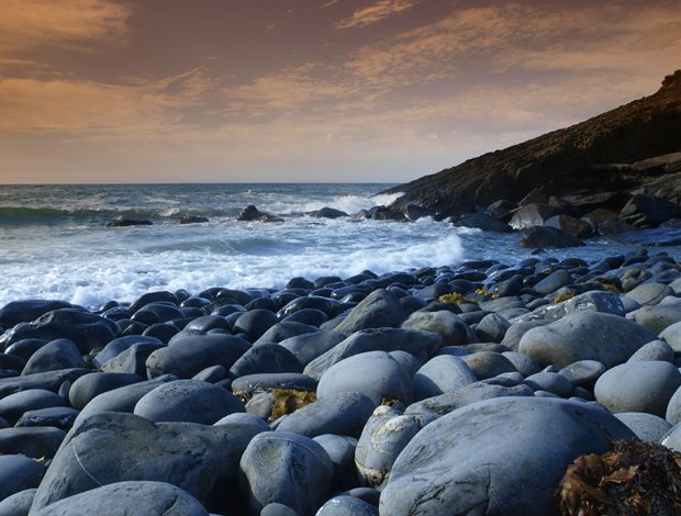
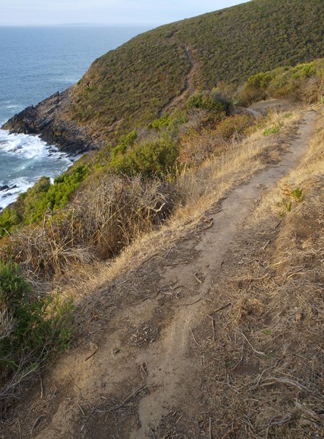
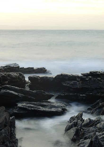
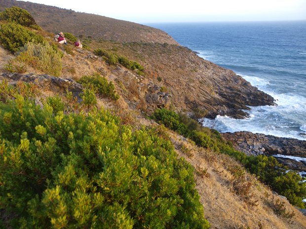
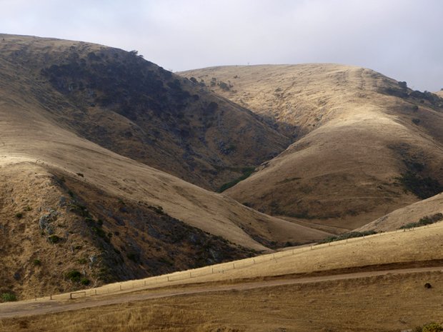
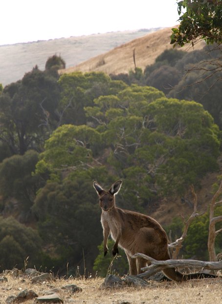
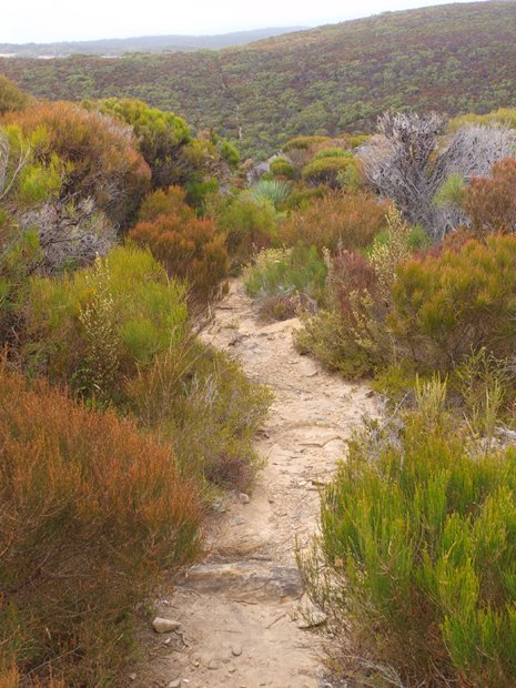
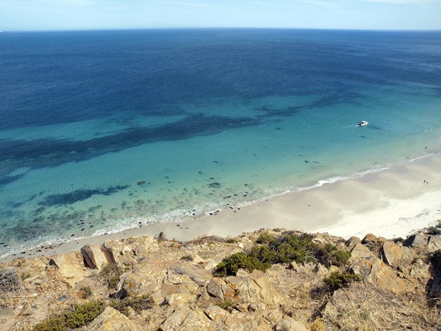
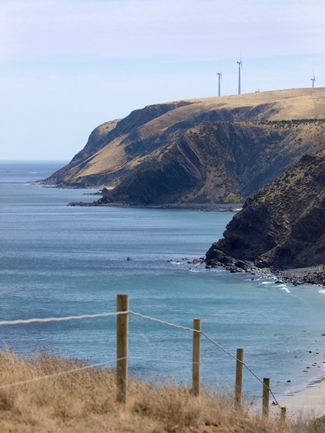
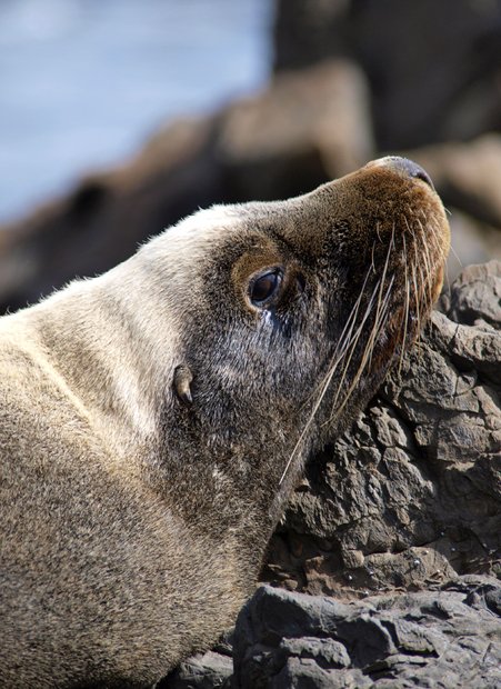
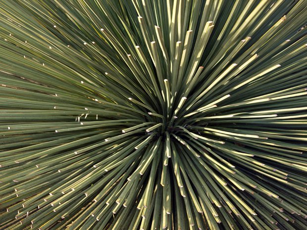
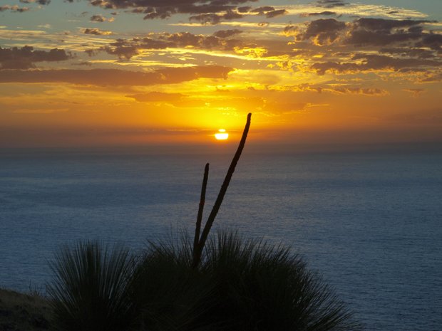
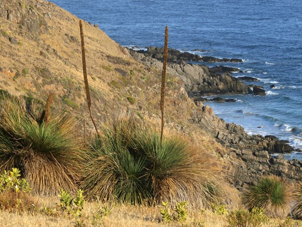
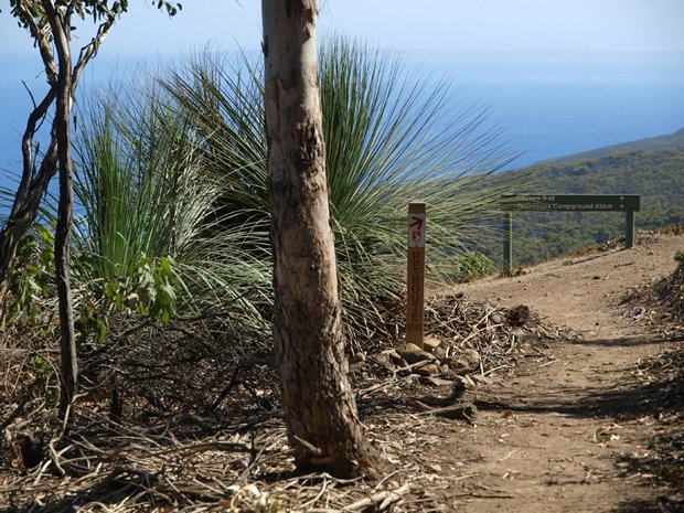
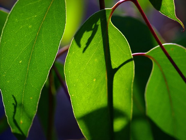
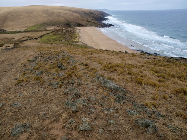
The 1200 km Heysen Trail follows the vivid spirit of Sir Hans Heysen’s art from the Fleurieu Peninsula to the Flinders Ranges in South Australia.

