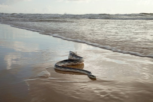
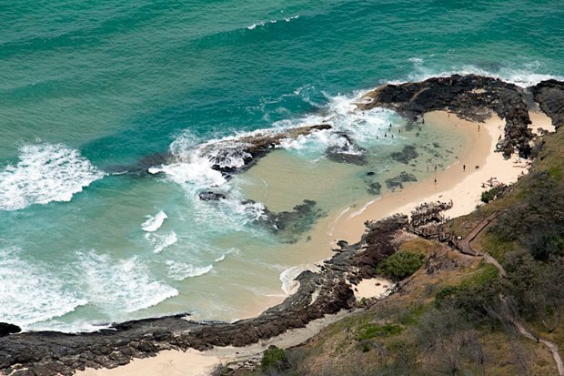
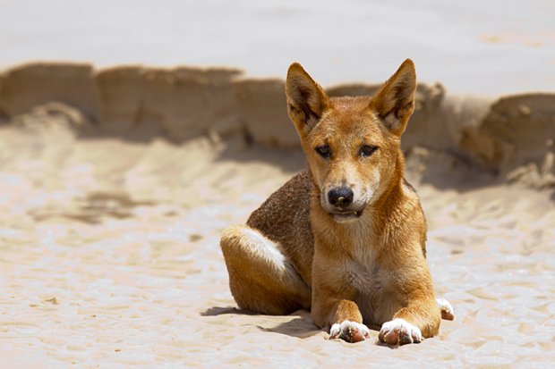
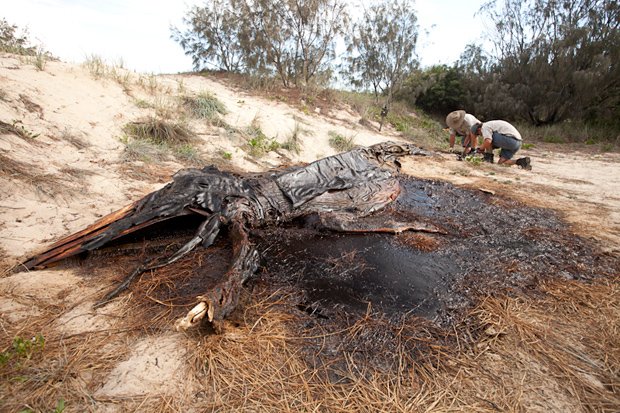
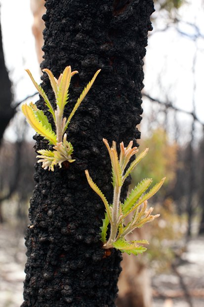
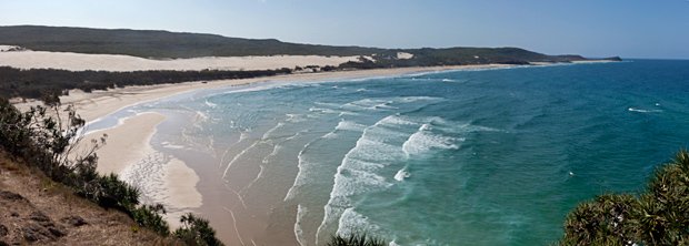
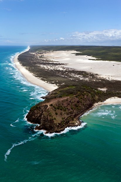
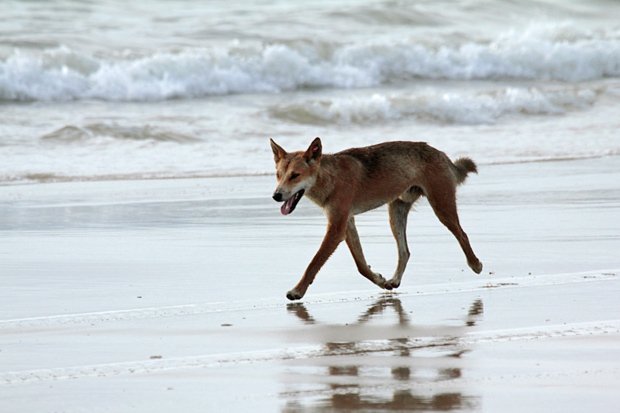
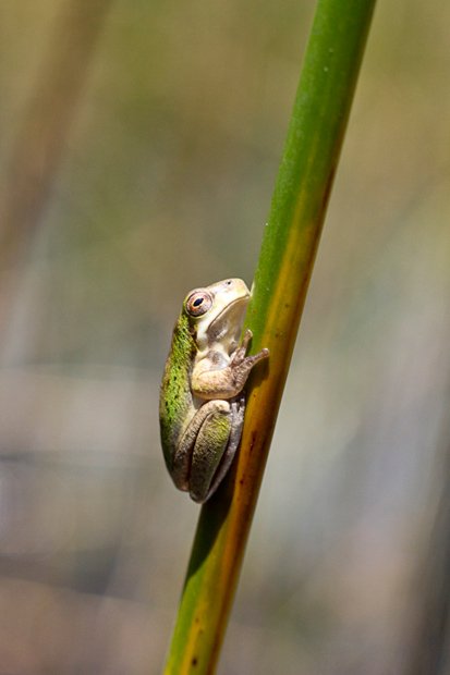
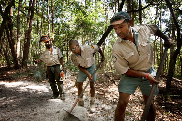
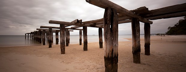
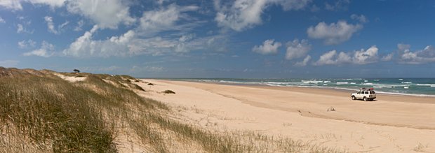
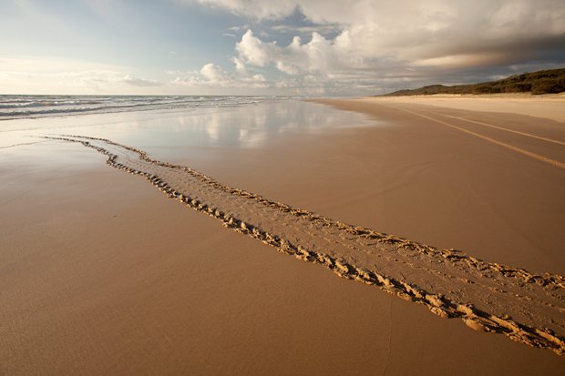
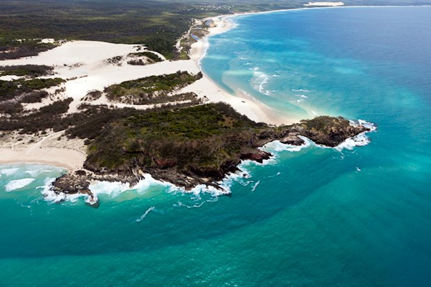
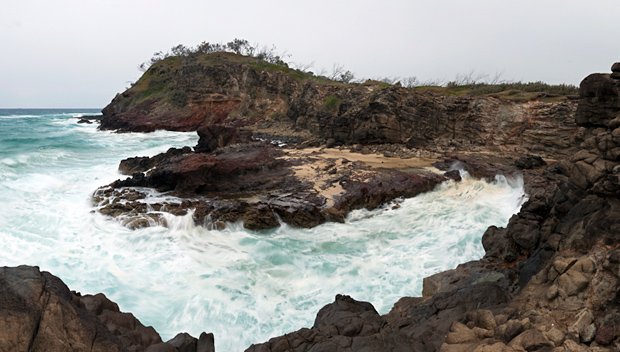
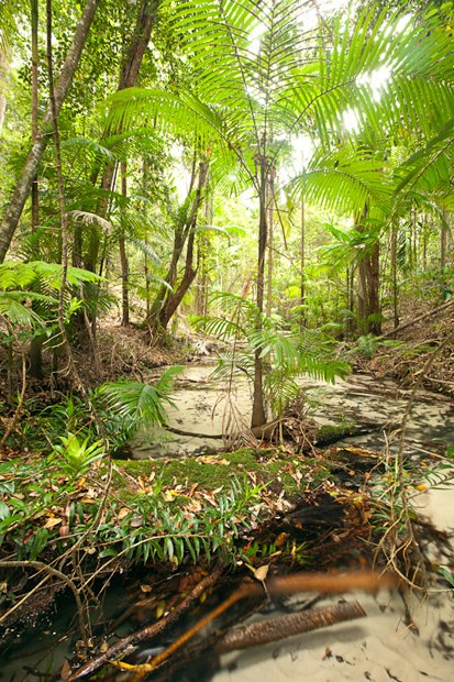
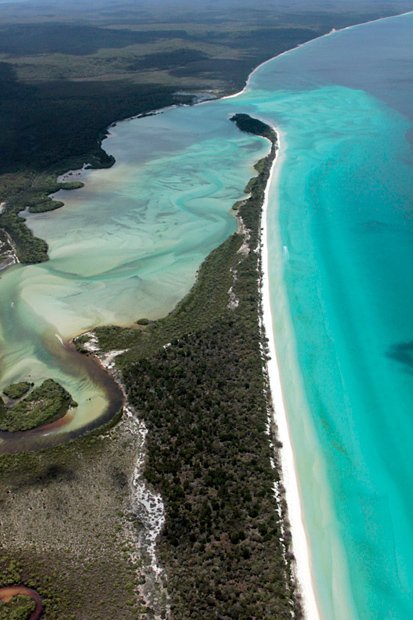
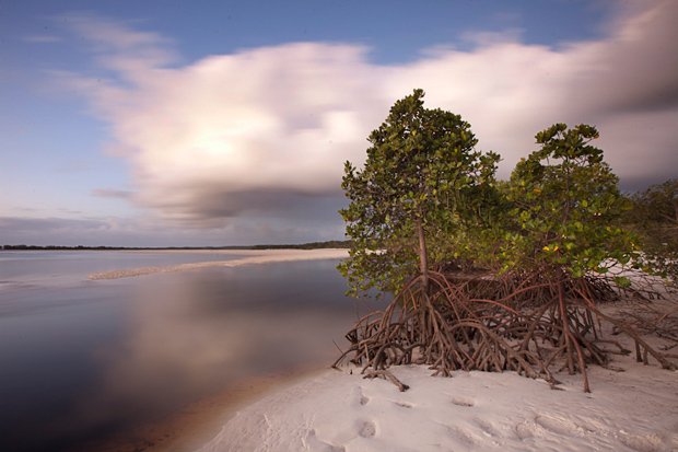
Fraser Island. From the air it makes for a picturesque view, textured with 1200km of white, sandy tracks and dotted with emerald and sapphire lakes fringed by white sand. The 43 sandblows – where the wind-blown sand is overtaking the vegetation westward – are like creamy spots on its eastern flanks.
A large snake glides through the surf at 75 Mile Beach. Also known as the “back beach” by the Hervey Bay locals, 75 Mile Beach is home to what is perhaps the most iconic historic spot on the island – the rusting derelict of the Maheno, a grand old liner.
The Maheno. Although some visitors may know the Maheno washed ashore in a cyclone in 1935 while being towed to Japan for scrap, few realise that at that stage it was still completely fitted out. “Everything was there – the menus were still on the table,” says John Wilkin, a Hervey Bay local who has been coming to Fraser since the early 1950s.
Banskia. A stunning World Heritage area, Fraser Island boasts pristine lakes, rare rainforests growing on sand, and exuberant wildlife, including whales, dugong, freshwater turtles, the country’s purest wild dingoes and half of Australia’s bird species.
An aerial view of the champagne pools, located to the north of Indian Head, along 75-mile beach on Fraser Island.
Beachside fun at the Champagne pools.
The Fraser dingo. In recent times the most the controversial hands-on management by QPWS rangers on the island has involved the dingoes. The animals have nipped, hurt and even killed humans on the island, so as well as studying the dingo population, the rangers occasionally destroy troublesome individuals: an average of about four a year.
Dingo bait. Rangers John Kellaway and John Dargusch set dingo traps in a rotting whale carcass; once caught the dingoes are tagged and monitored.
Sprouts of plants regenerating after a fire.
Indian Head. “Fraser Island lies at a 45° angle from the coast, which means it goes out to the north-east almost to the continental shelf, forming Hervey Bay,” says Wally Franklin, one of the heads of the Oceania Project that has been studying whales in Hervey Bay since 1992. “It is the most prominent feature on the east coast of Australia apart from the Great Barrier Reef.”
Indian Head on Fraser Island’s north.
Four-legged locals. Fraser’s dingoes are the purest strain in eastern Australia. Research has indicated there may be more than the previous estimates of 130–200 on the island, and that the animals have enough food without human assistance.
Wallum sedge-frog. One of four acid frog species on Fraser, the Wallum sedge-frog breeds in the acidic waters of Fraser’s perched lakes.
Bark of the scribbly gum tree.
Indigenous rangers. Darren Blake (left) and Conway Burns (right) work with volunteer Malcolm Burns, on the Fraser Island Great Walk.
A boat is docked at Kingfisher Bay, Fraser Island.
Lake Boomanjin, a perched lake. The best known of Fraser’s lake types, these occur when a
build-up of vegetation on the bottom of a sand-dune valley forms an impermeable layer, capturing the rainwater and run-off. This layer can form a brown shell called ‘coffee rock’.
Lake McKenzie (Boorangoora). One of Fraser’s most popular drawcards, this perched lake’s crystal-clear water has a mildly acidic pH of 5.5, similar to human skin. Each grain of the startlingly white sand is rounded smooth and soft to touch.
McKenzie Jetty. On the western shore of the island just south of Kingfisher Bay Resort, the jetty was originally used to transfer logs onto barges for shipping to the mainland.
Today, Lake Wabby – 11m deep and tucked in beside the Hammerstone Sandblow – is one of the most stunning spots visited by crowds.
Pile Valley. One of the last remaining unlogged stands of soaring satinay trees (pictured here) is found in the area around Central Station. Satinay, a member of the myrtle family, only grows naturally in two places in the world – Fraser Island and Cooloola NP nearby on the mainland.
Platypus Bay.
Driving along the beach at Sandy Cape.
An aerial view of Sandy Cape, the most northern point of Fraser Island.
Tracks depict the path of a mother loggerhead turtle who has just laid eggs and is returning to the sea.
Valley of the Giants. Unlike the trees in most forests, the trees on Fraser Island have to adapt to a sandy base. The ecosystem is heavily reliant upon leaf litter to provide nutrients and some kind of soil.
Waddy Point. This promontory on the north-eastern shore of the island is a lucrative fishing spot and protects a relatively sheltered bay with an expansive beach just to the north. South from here across a series of smaller beaches is the large rock pool, The Aquarium.
Fishing in the waves at Waddy Point.
Waddy point.
Wanggoolba.
Wathumba. This spot is a stunning haven for picnicking and camping in the island’s north-west, where Wathumba Creek flows out of a swamp and enters Platypus Bay.
Wathumba is a stunning haven for picnicking and camping in the island’s north-west, where Wathumba Creek flows out of a swamp and enters Platypus Bay.
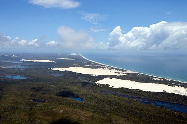
Twenty years ago, the world’s largest sand island was inscribed on the World Heritage List, turning this local secret into one of Australia’s must-sees.