Limestone bluffs pockmarked with sea caves line much of the Cape Naturaliste headland. Here they overlook Shelly Beach, which lies just a short walk down from the northern terminus of the Cape to Cape Track.
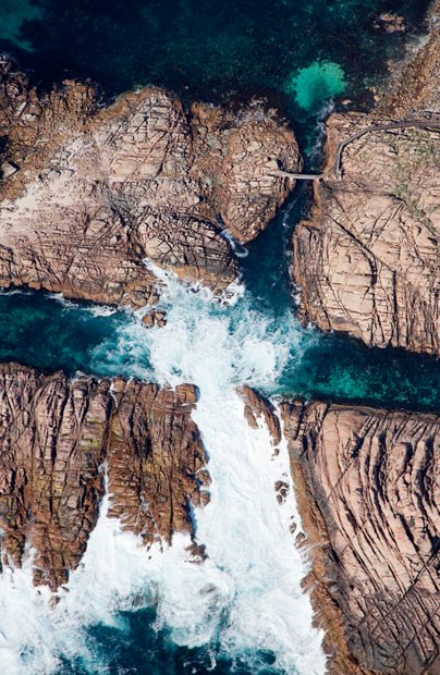
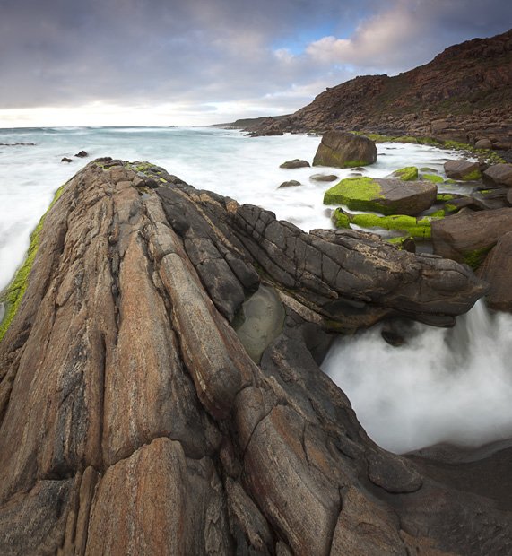
The basement rock under the Capes Peninsula is ancient granitic gneiss, exposed through erosion along the coastline. At Canal Rocks, wave action has carved fractures, faults and bands in softer rocks. The track crosses at the top right.
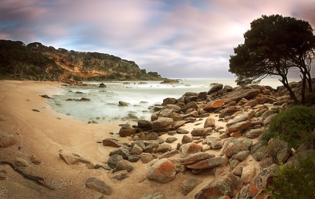
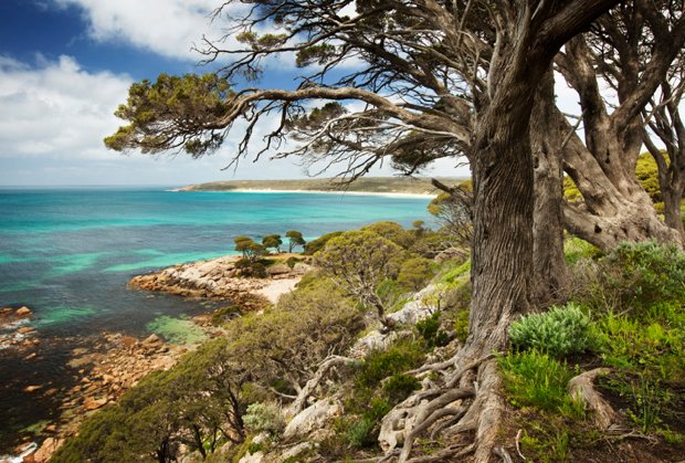
Rottnest tea-trees lining Bunker Bay are contorted by strong winds that regularly whip this part of the coastline of the Cape to Cape Track in Western Australia.
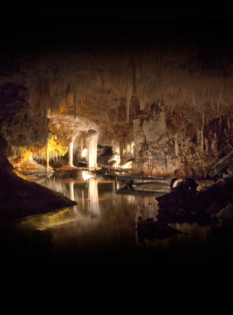
Caves were the original tourist drawcard of the capes, and it was largely their existence that provided the impetus for creating the Leeuwin-Naturaliste NP. More than 100 are spread throughout the area, though you’ll need permits to explore most of them. However, many larger caves such as Lake Cave, above, are open to the public.
This abundance of caves is due to the area’s limestone. During past ice ages when sea levels were lower, dunes were as far as 40 km west of the current coastline. Wind blew sand inland, forming dunes hundreds of metres high that stabilised, then compacted to form the Leeuwin-Naturaliste Ridge, which runs between the two capes.
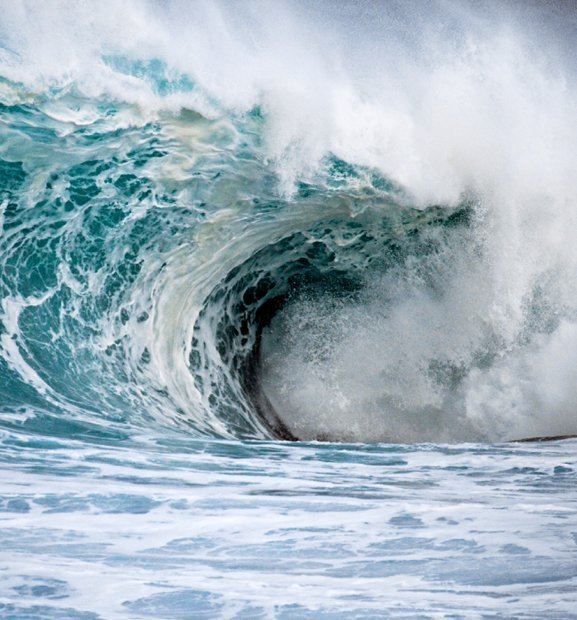
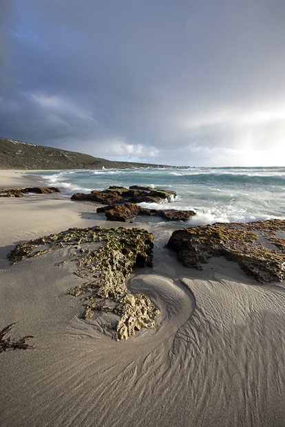
A roaring 3-m swell dumps down onto rocks south of Conto, in WA’s Capes Region. Surf as big as 10 m can strike offshore here, dislodging reef sturctures and depositing them on the shore.
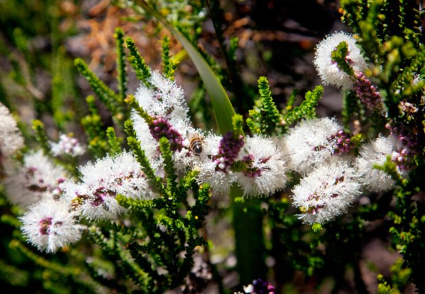
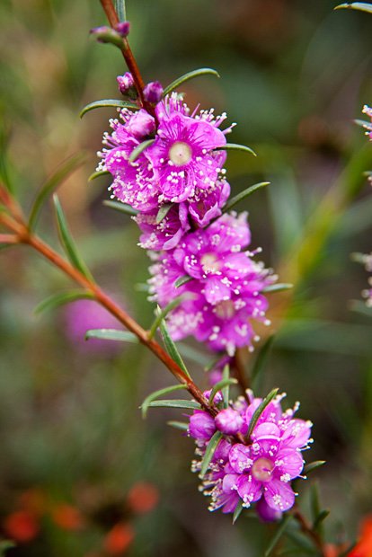
The coastal health along the Cape to Cape Track explodes into a riot of colour in spring. The chenille honey myrtle (Melaleuca Huegeliiis adored by bees and by flower lovers; it’s one of the few plants that continues to bloom well into summer.