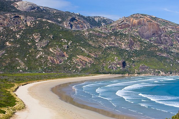
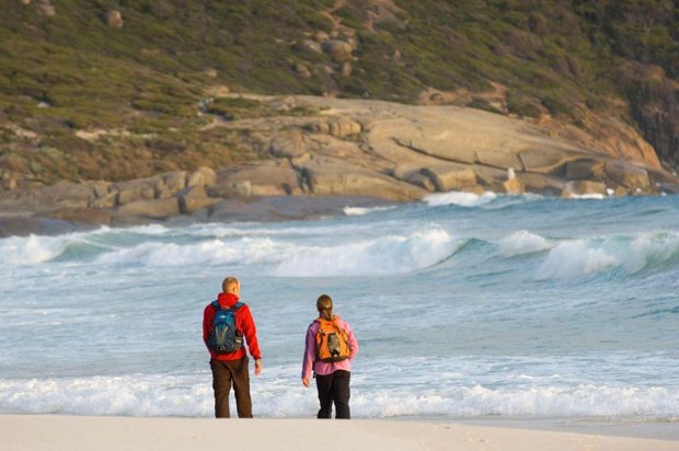
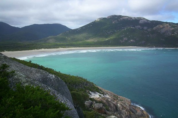
Norman Beach in Wilsons Promontory National Park, along the southernmost coast of the Australian mainland.
Read the story See the map
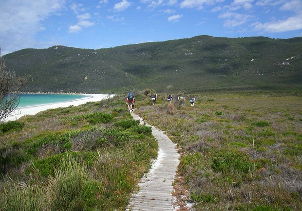
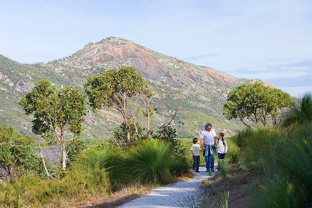
On the track, in Norman Bay in Wilsons Promontory National Park. More than 50,500 ha of diverse habitat are included in the park’s boundary.
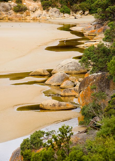
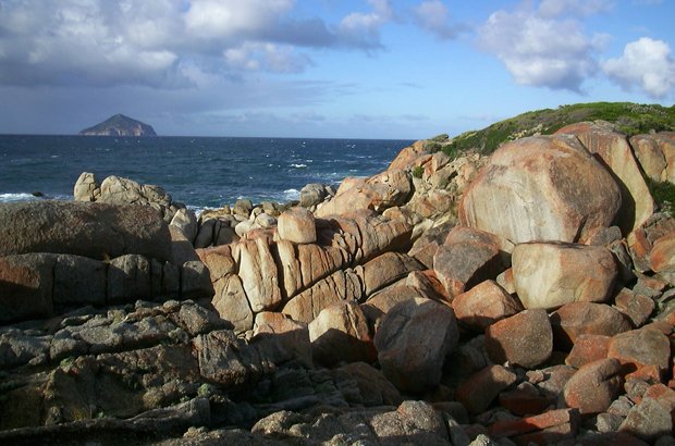
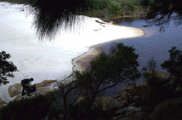
Rocks at Refuge Cove in Wilsons Promontory National Park, Victoria.
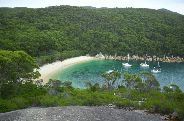
Looking down at Refuge Cove on the bushwalking track. This was once a sealing and whaling station.
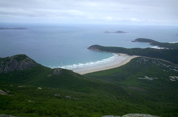
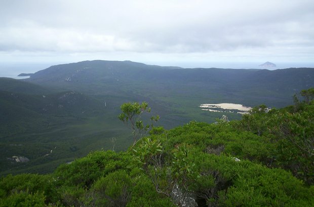
The view out to Norman Bay and Norman Island, from Mt Oberon.
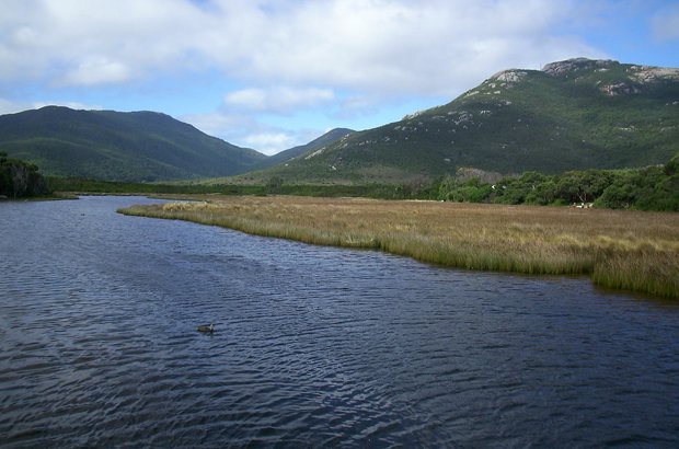
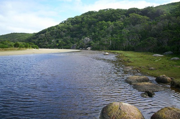
Tidal River, with Bishop Peak in the background. This is the main campground area, where the park rangers’ office is based. Many walks start from this area.
The view to Wattle Island, at the most southerly point of the Australian mainland.
Squeak Beach, in Wilsons Promontory National Park, in Victoria’s southern coast.
Looking back to Norman Beach on the trail towards Little Oberon Bay.
The tannin waters of The Tidal River area.
Not far from halfway hut and looking out to the southernmost coast of Victoria, with Watttle Island to the far right.
On the path back from Norman Beach, Wilsons Promontory National Park, Victoria.
Tidal River, near the main campgrounds at Wilsons Promontory National Park, colloquially known as ‘The Prom’.
Home Travel Destinations Gallery: Wilsons Promontory
To really appreciate a region, you need to go back in time.
With unique locations, jaw-dropping experiences and dinky-di Aussie characters, North Queensland is the place for your next road trip.
The oldest European settlement west of New South Wales’ Blue Mountains, Bathurst is pure gold.
Our much loved calendars and diaries are now available for 2024. Adorn your walls with beautiful artworks year round. Order today.
From cuddly companions to realistic native Australian wildlife, the range also includes puppets that move and feel like real animals.